Filters
No categories available
No brands available
North America Maps
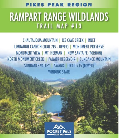
Pikes Peak Region: Rampart Range Wildlands Trail Map #13
Pocket Pals Trail MapsLike a personal adventure guide that fits in your pocket, the Pocket Pals Pikes Peak Region: Rampart Range Wildlands Trail Map #13 covers trails in the Pike National Forest west of Monument.
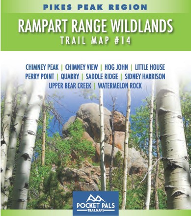
Pikes Peak Region: Rampart Range Wildlands Trail Map #14
Pocket Pals Trail MapsLike a personal adventure guide that fits in your pocket, the Pocket Pals Pikes Peak Region: Rampart Range Wildlands Trail Map #14 covers trails in the Pike National Forest northwest of Monument.
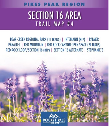
Pikes Peak Region: Section 16 Area Trail Map #4
Pocket Pals Trail MapsExplore the trails west of Colorado Springs with this pocket-sized, durable and detailed Pikes Peak Region: Section 16 Area Trail Guide #4.

Pikes Peak and Colorado Springs Topographic Map
Outdoor Trail MapsPlan your own adventure with the Pikes Peak and Colorado Springs topographic map. It shows all hiking trails in and around the Pikes Peak Massif in the Front Range of Colorado near Colorado Springs.
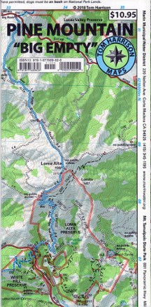
Pine Mountain Trail Map
Tom Harrison CartographyThis waterproof and tear-resistant folded map of Pine Mountain provides detailed and accurate trail information.
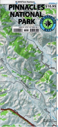
Pinnacles National Park Trail Map
Tom Harrison CartographyFrom Tom Harrison Cartography, the Pinnacles National Park Trail Map is your guide to discovering this popular climbing, hiking and birding destination in Central California.

Pisgah National Forest Trail Map
National GeographicThis Trails Illustrated folded map offers clear, concise coverage of Pisgah National Forest in North Carolina.
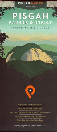
Pisgah Ranger District-Bent Creek Map
Pisgah Map CoExplore the Land of Waterfalls in Western North Carolina with this Pisgah Ranger District–Bent Creek map. It's ideal for hikers as well as mountain bikers.
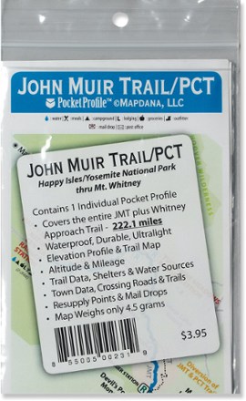
Pocket Profile John Muir Trail and PCT Map
AntiGravityGearThe Pocket Profile John Muir and PCT map from AntiGravityGear is the perfect-size companion for moment-by-moment reference when you're on the John Muir portion of the Pacfic Crest Trail.

Point Reyes Hiking & Biking Map
Map AdventuresThis Point Reyes Hiking & Biking map includes detailed descriptions of 21 hiking and biking routes scattered throughout the Point Reyes area, along with 80 individual trail descriptions.

Point Reyes National Seashore Map
Tom Harrison CartographyMarked with trails for hiking and mountain biking, the Point Reyes National Seashore Map from Tom Harrison Cartography is your guide to outdoor recreation in this beautiful region.
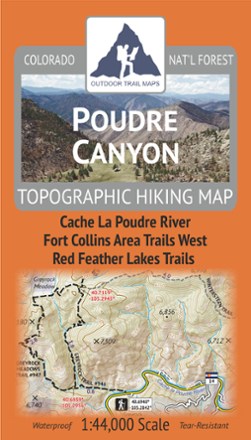
Poudre Canyon Topographic Map
Outdoor Trail MapsPlan your own adventure with the light, tough and compact Poudre Canyon topographic map. It shows all of the hiking trails in and around the Cache La Poudre River canyon and Red Feather Lakes areas.
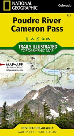
Poudre River and Cameron Pass Map
National GeographicThis National Geographic Trails Illustrated folded map offers comprehensive coverage of the Poudre River and Cameron Pass areas in Colorado.
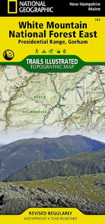
Presidential Range / Gorham Topographic Map
National GeographicThe Trails Illustrated Presidential Range / Gorham Topographic Map provides unmatched detail for outdoor enthusiasts seeking to enjoy the year-round recreational opportunities this area has to offer.
North America MapsNew England and Mid Atlantic Maps - DEPRECATED