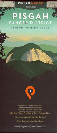
Pisgah Ranger District-Bent Creek Map
Tech Specs
Specifications are maintained on Pack4Back GearDB (community edits and revision history). Values may differ from the manufacturer or your unit—verify before buying.
BrandPisgah Map Co
Best UseHiking
Folded Dimensions9 x 4 inches
Unfolded Dimensions38 x 25.75 inches
Map Scale1:39,000
Double SidedYes
WaterproofYes
PublisherPisgah Map Co
Copyright Year2011
State / ProvinceNorth Carolina
Description
Explore the Land of Waterfalls in Western North Carolina with this Pisgah Ranger District–Bent Creek map. It's ideal for hikers as well as mountain bikers.
Features
- Covers the South Pisgah Ranger District in Western North Carolina, including Bent Creek, Mills River, Shining Rock, Davidson River and Turkey Pen
- Includes 16 popular mountain biking rides
- Printed on waterproof paper