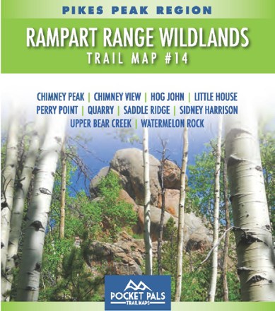

Pikes Peak Region: Rampart Range Wildlands Trail Map #14
Tech Specs
Specifications are maintained on Pack4Back GearDB (community edits and revision history). Values may differ from the manufacturer or your unit—verify before buying.
Best UseHiking
State / ProvinceColorado
Folded Dimensions4.25 x 3.625 x 0.1 inches
Unfolded Dimensions17 x 11 x 1 inches
Map Scale1:40,500
Double SidedYes
WaterproofYes
PublisherOutdoors LLC
Copyright Year2015
SustainabilityContains Forest Stewardship Council (FSC) certified materials
Map Number14
Description
Like a personal adventure guide that fits in your pocket, the Pocket Pals Pikes Peak Region: Rampart Range Wildlands Trail Map #14 covers trails in the Pike National Forest northwest of Monument.
Features
- Covers Chimney Peak, Chimney View, Hog John, Little House, Perry Point, Quarry, Saddle Ridge, Sidney Harrison, Upper Bear Creek and Watermelon Rock
- Provides all the important details to plan a trip and stay on track—trail length, difficulty level, total elevation gain/loss, landmarks and trailhead directions
- Includes waypoints (such as stream crossings, trail intersections, unique geologic features, overlooks, structural ruins, etc.) to identify along the way
- Waterproof, tear-resistant map stands up to use out on the trails
- Perfectly sized to fit in your pocket, making it easy to take with you
- Please note: It is recommended that you have a high-clearance or 4WD vehicle to access all of the trailheads on this map