Filters
No categories available
No brands available
North America Maps
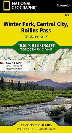
Winter Park/Central City/Rollins Pass Trail Map
National GeographicThis Trails Illustrated folded map offers comprehensive coverage of the Winter Park, Central City and Rollins Pass areas in Colorado.
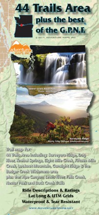
44 Trails Area Trail Map 2017
Adventure MapsDiscover beautiful waterfalls in the sprawling wilderness that spans the Oregon/Washington border with the 44 Trails Area trail map as your guide to the area's scenic hikes and mountain bike trails.
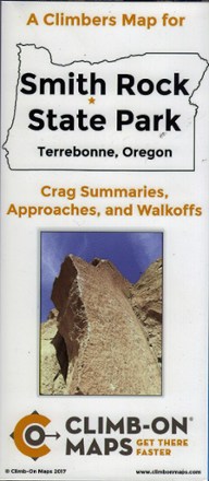
A Climber's Map for Smith Rock State Park, Terrebonne, Oregon
The double-sided, waterproof, tear-proof Smith Rock State Park climber's map includes crag summaries, approaches and walk-offs to help you find your way to the routes you want to climb.

A Hiker's Guide to the Santa Barbara Front Country
A topographic map with local streets, hiking trails and major attractions all well marked, A Hiker's Guide to Santa Barbara Front Country is your guide to recreation in and around this iconic city.

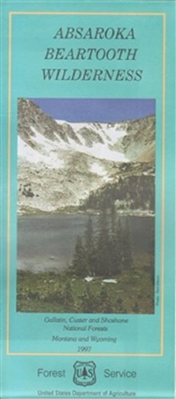
Absaroka Beartooth Wilderness Map
Beartooth PublishingTake along this GPS-ready, weather-resistant topographic map on your next trip to the Absaroka Beartooth Wilderness.
Absaroka Beartooth Wilderness Map
Plan an adventure with this map of the Absaroka Beartooth Wilderness, featuring a rugged, picturesque topography containing hundreds of lakes, high-rolling plateaus and deep, glacier-carved valleys.

Absaroka-Beartooth Wilderness East Map
National GeographicThe Trails Illustrated Absaroka-Beartooth Wilderness East map offers comprehensive coverage of this wilderness in south central Montana, home to the state's highest peak.
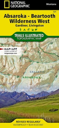
Absaroka-Beartooth Wilderness West Map
National GeographicThe Trails Illustrated Absaroka-Beartooth Wilderness West map offers comprehensive coverage of this wilderness in south central Montana, home to the state's highest peak.
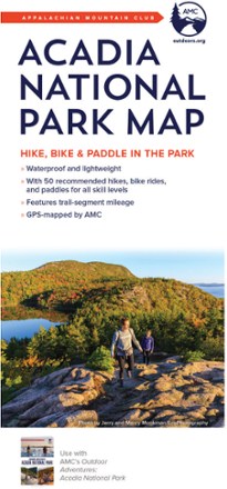
Acadia National Park Map - 4th Edition
AMCExperience the trails, lakes and stellar views of Maine's most popular park with the AMC Acadia National Park map in hand, and use the comprehensive resource to explore by bike, foot or water.
North America MapsNew England and Mid Atlantic Maps - DEPRECATED
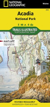
Acadia National Park Trail Map
National GeographicThis beautifully detailed Trails Illustrated map offers comprehensive coverage of Acadia National Park in Maine.
North America MapsNew England and Mid Atlantic Maps - DEPRECATED
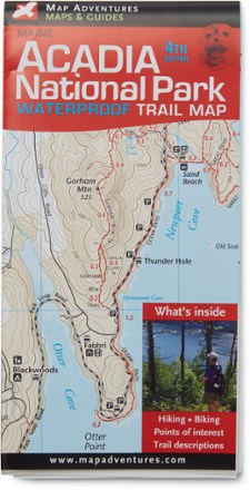
Acadia National Park Waterproof Trail Map - 4th Edition
Map AdventuresPlan a hiking or biking trip in Acadia National Park with the 4th edition of the Acadia National Park Waterproof Trail map from Map Adventures.
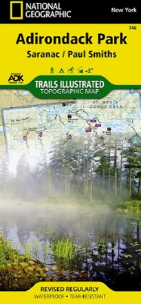
Adirondack National Park Trail Map
National GeographicThis National Geographic Trails Illustrated Adirondack Park trail map offers clear, detailed coverage of Saranac and Paul Smiths areas.
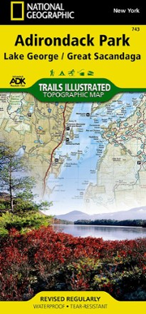
Adirondack Park - Lake George/Great Sacandage Lake Trail Map
National GeographicThis Trails Illustrated folded map offers comprehensive coverage of Adirondack National Park's Lake George and Great Sacandage Lake area in New York.
North America MapsNew England and Mid Atlantic Maps - DEPRECATED
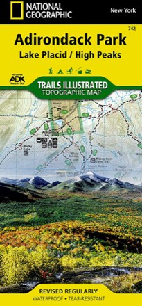
Adirondack Park - Lake Placid/High Peaks Trail Map
National GeographicThis National Geographic Trails Illustrated folded map offers comprehensive coverage of Adirondack Park's Lake Placid and High Peaks in New York.
North America MapsNew England and Mid Atlantic Maps - DEPRECATED