
Black Mountain-Montreat-Ridgecrest Map
Pisgah Map CoFor day hikers and cyclists, grab the Black Mountain map, which will guide you through parks and greenways in town as well as the remote wilds of the Montreat Wilderness and Ridgecrest trail systems.

Chattooga River Map and Trail Guide
Pisgah Map CoWork your way all along the Chattooga Riber by foot or boat with the Chattooga River map and trail guide as your navigator through these tranquil, free-flowing waters in rugged South Carolina.
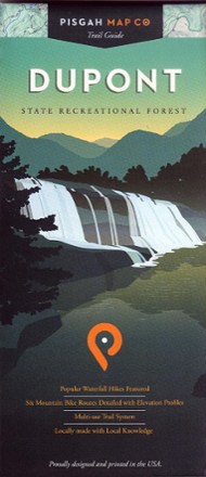
Dupont State Recreational Forest Map
Pisgah Map CoFeaturing popular waterfall hikes and 6 mountain biking routes, the easy-to-use Dupont State Recreational Forest map will help you hit the trail and explore Western North Carolina.

French Broad Region Trail Guide
Pisgah Map CoDiscover a beautiful outdoor region along the North Carolina-Tennessee border where waterfalls abound with the detailed and obsessively researched Pisgah Map Co. French Broad Region Trail Guide.
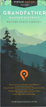
Grandfather Ranger District Map
Pisgah Map CoWith precisely drawn trails, the Grandfather Ranger District map offers topographic detail and map icons to guide you through spectacular natural features of North Carolina's Pisgah National Forest.

Green River Game Land Trail Guide
Pisgah Map CoExplore the river, multi-use trails, narrow gorges, steep ravines and beautiful forests of Western North Carolina's 18,000-acre playground with the Pisgah Map Co. Green River Game Land Trail Guide.
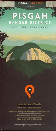
Pisgah Ranger District-Bent Creek Map
Pisgah Map CoExplore the Land of Waterfalls in Western North Carolina with this Pisgah Ranger District–Bent Creek map. It's ideal for hikers as well as mountain bikers.

Shining Rock and Middle Prong Wilderness Areas Trail Guide
Pisgah Map CoA guide and locator map in one, the Shining Rock and Middle Prong Wilderness Areas trail guide from Pisgah Map Co is perfect for hikers, backpackers and backcountry anglers exploring the region.

The Blue Wall Trail Map
Pisgah Map CoDiscover the rugged natural beauty of upstate South Carolina with the Blue Wall trail map, highlighting many great hiking, mountain biking and camping opportunities across the region.