Filters
No categories available
No brands available
North America Maps
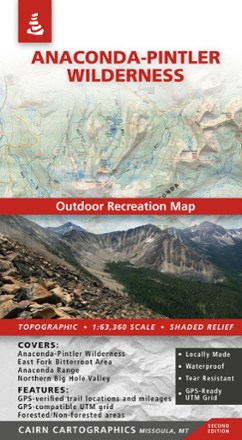
Anaconda-Pintler Wilderness Map - 2nd Edition
Cairn CartographicsPlan your trip to Montana with the help of this map, which covers the Anaconda-Pintler Wilderness, East Fork Bitterroot area and the Northern Big Hole Valley.
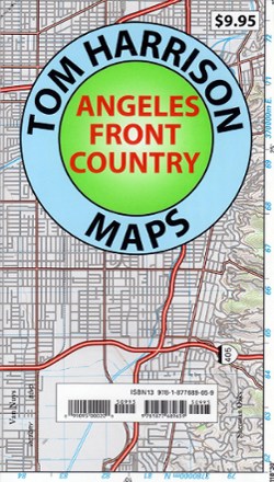
Angeles Front Country Trail Map
Tom Harrison CartographyAn invaluable resource for the Los Angeles area hiker, the Tom Harrison Cartography Angeles Front Country Trail Map details an area accessible via the Angeles Crest highway, just north of the city.

Angeles National Forest Topographic Map
National GeographicThe Trails Illustrated Angeles National Forest Topographic map provides unmatched detail and valuable information for outdoor enthusiasts enjoying this diverse recreational area north of Los Angeles.
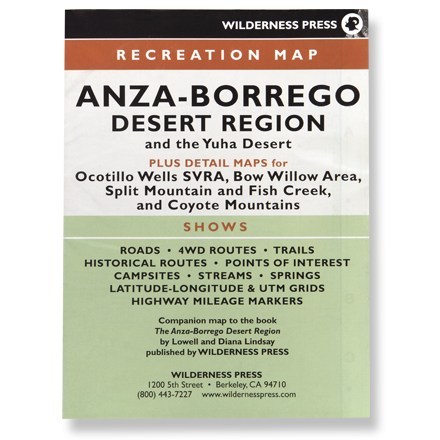
Anza-Borrego Desert Region
Wilderness PressRecreation map shows roads, 4WD routes, trails, historical routes, campsites, streams, springs and highway mileage markers
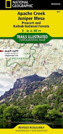
Apache Creek / Juniper Mesa Topographic Map
National GeographicOutdoor enthusiasts adventuring through the northern half of Prescott National Forest will find the Trails Illustrated Apache Creek / Juniper Mesa topographic map an essential travel companion.
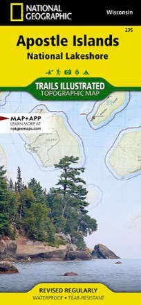
Apostle Islands Topographic Map
National GeographicThe Trails Illustrated Apostle Islands topographic map offers clear, concise info to help you savor this area's unique combination of cultural resources, natural beauty and historical significance.

Appalachian Trail Map Pack: Georgia, North Carolina and Tennessee
National GeographicThis Appalachian Trail map pack covers Georgia, North Carolina and Tennessee, tracing the trail from its southern terminus at Springer Mountain to Damascus on the Tennessee/Virginia state line.

Appalachian Trail Map Pack: Maine
National GeographicThis Appalachian Trail map pack covers the entirety of the trail in Maine, which offers some of the most challenging sections of the AT, both in terms of rugged terrain and weather conditions.

Appalachian Trail Map Pack: New Jersey, New York, Connecticut, Massachusetts
National GeographicThis Appalachian Trail map pack covers New Jersey, New York, Connecticut and Massachusetts, following the trail from the Pennsylvania border in the south to the Vermont state line in the north.
North America MapsNew England and Mid Atlantic Maps - DEPRECATED

Appalachian Trail Map Pack: Pennsylvania
National GeographicThe Appalachian Trail (AT) map pack for Pennsylvania covers the entire AT in the Keystone State. These maps follow the ridges of the Appalachian Mountains as the trail weaves in and out of suburbia.
North America MapsNew England and Mid Atlantic Maps - DEPRECATED
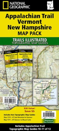
Appalachian Trail Map Pack: Vermont and New Hampshire
National GeographicThis Appalachian Trail map pack covers Vermont and New Hampshire—adjacent states with distinctly different landscapes ranging from wooded, rolling terrain to rugged and rocky high country.
North America MapsNew England and Mid Atlantic Maps - DEPRECATED

Appalachian Trail Map Pack: Virginia, West Virginia, Maryland
National GeographicThis Appalachian Trail map pack covers Virginia, West Virginia and Maryland, from the Tennessee/Virginia state line to the southern border of Pennsylvania.
North America MapsNew England and Mid Atlantic Maps - DEPRECATED
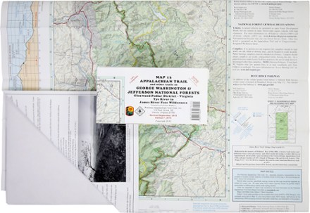
Appalachian Trail Map: AT and Other Trails in George Washington & Jefferson National Forests
PATCThis map covers sections 17 to 22 of the Appalachian Trail in Virginia, from Virginia Tye River to the James River Face Wilderness in the Glenwood-Pedlar District.
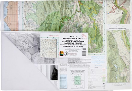
Appalachian Trail Map: AT and Other Trails in George Washington National Forest
PATCReady to explore the wilds of Virginia? The PATC Appalachian Trail Map 12 covers sections 15–17 in VA, from the Virginia Rockfish Gap to Tye River in the Glenwood-Pedlar District.