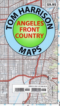

Angeles Front Country Trail Map
Tech Specs
Best UseHiking
Folded Dimensions7.2 x 4.1 x 0.2 inches
Unfolded Dimensions29.5 x 26 inches
Map Scale1:63,360
Double SidedYes
WaterproofYes
PublisherTom Harrison Cartography
Copyright Year2013
State / ProvinceCalifornia
Description
An invaluable resource for the Los Angeles area hiker, the Tom Harrison Cartography Angeles Front Country Trail Map details an area accessible via the Angeles Crest highway, just north of the city.
Features
- Great for planning new hikes and small backpacking trips in the Angeles Forest area from La Canada to Vasquez Rock, this map includes trailheads, trail camps and mileage
- Includes Chantry Flat, Chilao Flat, Colby Canyon, Condor Peak, Eaton Canyon, Gabrielino Trail and Josephine Peak
- Also includes Mount Lowe, Mount Wilson, Placerita Canyon, Strawberry Peak and the Verdugo Mountains
- Full-color shaded-relief topographic map on high-quality tear- and water-resistant paper; folds up easily and is easy to read in all conditions
- Tom Harrison maps include color-coded symbols and trails, mileage between trail junctions, UTM grids, contour lines, vegetation and elevations at trail junctions