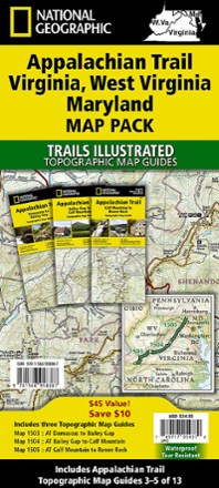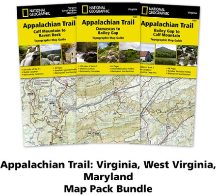


Appalachian Trail Map Pack: Virginia, West Virginia, Maryland
Tech Specs
BrandNational Geographic
Best UseBackpacking
Folded Dimensions9.25 x 4.25 x 0.3 inches
Map Scale1:63,360
Double SidedYes
WaterproofYes
PublisherNational Geographic
Copyright Year2020
State / ProvinceMaryland
Map Number1503-1504-1505
Description
This Appalachian Trail map pack covers Virginia, West Virginia and Maryland, from the Tennessee/Virginia state line to the southern border of Pennsylvania.
Features
- Of the 14 states that the AT travels through, Virginia has the longest section at over 500 miles
- Pack includes 3 detailed topographic map guide booklets centered on the Appalachian Trail (AT) and overlapping with adjacent sections to reduce your chances of getting lost
- Built for all levels of hiking enthusiasts—from day-tripper to thru-hiker—these Topographic Map Guides are more convenient and easier to use than folded maps
- Front pages include resupply information, town inset maps, camping options and much more
- Printed on "Backcountry Tough" waterproof, tear-resistant paper with stainless-steel staples
- Along the bottom of each page, a trail profile shows distances between shelters, camping areas and trail access points
- Map and trail profile provide a step-by-step visual guide to hiking the trail, mile by rugged mile
- A full UTM grid is printed on the map to aid with digital navigation
- Your purchase helps support National Geographic Society nonprofit's mission of research, education, conservation and exploration
- 1:63,360 scale means 1 in. equals 1 mile