Appalachian Trail Map: AT and Other Trails in George Washington National Forest
Tech Specs
Specifications are maintained on Pack4Back GearDB (community edits and revision history). Values may differ from the manufacturer or your unit—verify before buying.
BrandPATC
Best UseHiking
State / ProvinceVirginia
Folded Dimensions8 x 4 x 0.125 inches
Unfolded Dimensions28 x 23 inches
Map Scale1:63,360
Double SidedYes
WaterproofYes
PublisherPotomac Appalachian Trail Club
Copyright Year2015
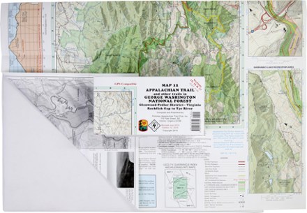
Map Number12
Description
Ready to explore the wilds of Virginia? The PATC Appalachian Trail Map 12 covers sections 15–17 in VA, from the Virginia Rockfish Gap to Tye River in the Glenwood-Pedlar District.
Features
- Features elevation profiles, gates and barriers and where you'll encounter streams, springs, falls and views
- Includes information on shelters, campgrounds, cabins and hostels, plus parking areas
- Covers AT Corridor, state parks, forests and game lands
- GPS compatible