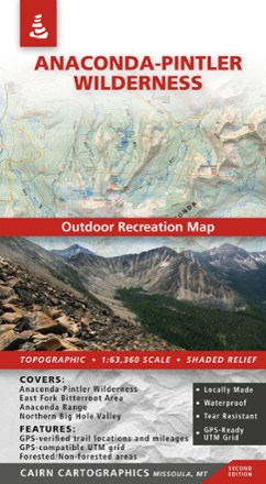
Anaconda-Pintler Wilderness Map - 2nd Edition
Cairn CartographicsPlan your trip to Montana with the help of this map, which covers the Anaconda-Pintler Wilderness, East Fork Bitterroot area and the Northern Big Hole Valley.

Bob Marshall Wilderness Complex North Half Outdoor Recreation Map - 5th Edition
Cairn CartographicsCovering the north half of the Bob Marshall Wilderness Complex, this map from Cairn Cartographics features GPS data from the summer and fall of 2011, making for accurate trail locations and mileages.

Bob Marshall Wilderness Complex South Half Outdoor Recreation Map - 5th Edition
Cairn CartographicsCovering the south half of the Bob Marshall Wilderness Complex, this Cairn Cartographics map features GPS data from the summer and fall of 2010, making for accurate trail locations and mileages.

Glacier and Waterton Lakes National Parks Outdoor Recreation Map - 2nd Edition
Cairn CartographicsPlan your trip using this Cairn Cartographics map. It covers Montana's Glacier National Park, Alberta's Waterton Lakes National Park and The North Fork of the Flathead River in excellent detail.

Rattlesnake Wilderness and Missoula Outdoor Recreation Map
Cairn CartographicsCovering the Rattlesnake Wilderness and prime recreation areas around Missoula, Montana, this Cairn Cartographics map features trail locations and mileages GPS-verified in the summer and fall of 2011.

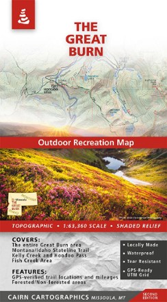
The Great Burn Map - 2nd Edition
Cairn CartographicsMade and researched locally, the 2nd edition of The Great Burn Map covers the area on the Montana/Idaho border just west of Missoula including Kelly Creek, Hoodoo Pass and the Fish Creek area.