
Appalachian Trail Guide Set 7: Shenandoah National Park
PATCCombining a pocket-size trail guide and corresponding maps, the PATC Appalachian Trail Guide Set 7: Shenandoah National Park is your guide to all the trails in the park.
North America Hiking GuidebooksAppalachian Trail Hiking Guidebooks
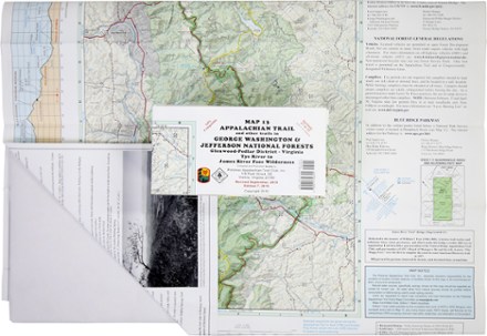
Appalachian Trail Map: AT and Other Trails in George Washington & Jefferson National Forests
PATCThis map covers sections 17 to 22 of the Appalachian Trail in Virginia, from Virginia Tye River to the James River Face Wilderness in the Glenwood-Pedlar District.
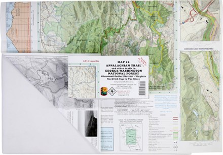
Appalachian Trail Map: AT and Other Trails in George Washington National Forest
PATCReady to explore the wilds of Virginia? The PATC Appalachian Trail Map 12 covers sections 15–17 in VA, from the Virginia Rockfish Gap to Tye River in the Glenwood-Pedlar District.
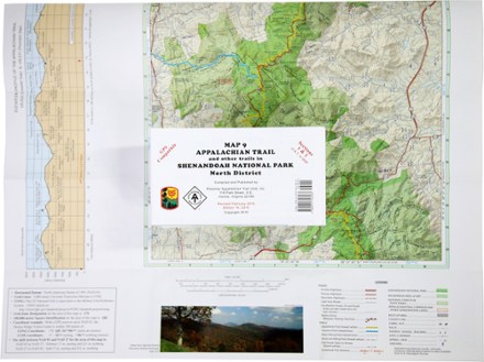
Appalachian Trail Map: AT and Other Trails in Shenandoah National Park North District
PATCThis map covers sections 1 and 2 of the Appalachian Trail—and all side trails—in Shenandoah National Park's North District.
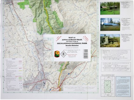
Appalachian Trail Map: AT and Other Trails in Shenandoah National Park South District
PATCThis map covers sections 6, 7, 8 and 9 of the Appalachian Trail—and all side trails—in Shenandoah National Park's South District.
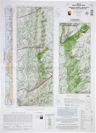
Appalachian Trail Map: AT in Northern Virginia - South Half: Snickers Gap to Chester Cap
PATCThis map covers sections 3, 4 and 5 of the Appalachian Trail in Northern Virginia from Snickers Gap to Chester Gap.
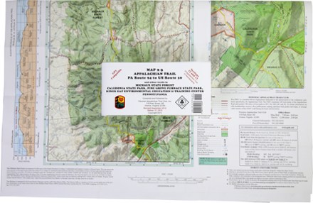
Appalachian Trail Map: PA Route 94 to US Route 30 and Other Trails
PATCReady to explore Pennsylvania? The PATC Appalachian Trail Map 2–3 of PA Route 94 to US Route 30 covers sections 12 and 13 of the state's Appalachian Trail in full color.

Appalachian Trail Map: Susquehanna River to PA Route 94 and Other Trails in Cumberland Valley
PATCReady to explore Pennsylvania? This PATC Appalachian Trail Map 1 of the Susquehanna River to PA Route 94 covers sections 9, 10 and 11 of the state's Appalachian Trail in full color.

Appalachian Trail Map: US Route 30 to PA-MD State Line and Other Trails
PATCReady to explore Pennsylvania? This PATC Appalachian Trail Map 4 of US Route 30 to PA-MD State Line covers section 14 of the state's Appalachian Trail in full color.

Circuit Hikes in Shenandoah National Park - 18th Edition
PATCFrom rugged scrambles to flat terrain, the pocket-size 18th edition of Circuit Hikes in Shenandoah National Park details 40 trails in the North, Central and South districts along Skyline Drive.
Camping and Hiking GuidebooksNorth America Hiking Guidebooks

Circuit Hikes in Virginia, West Virginia, Maryland and Pennsylvania - 10th Edition
PATCThe pocket-size 10th edition of Circuit Hikes in Virginia, West Virginia, Maryland and Pennsylvania journeys into deep woods home to wildlife as well as near-urban routes that are surprisingly wild.
Camping and Hiking GuidebooksNorth America Hiking Guidebooks

Hikes in the Washington Region Part B: Northern Virginia - 5th Edition
PATCDetailing 26 hikes within driving distance of D.C., the 5th edition of Hikes in the Washington Region Part B: Northern Virginia offers a variety of experiences from short walks to strenuous climbs.
Camping and Hiking GuidebooksNorth America Hiking Guidebooks
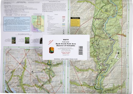
Map D - Trails in the Potomac Gorge Area and the Cabin John Trail
PATCThis map covers trails in the Potomac Gorge Area of Maryland and Northern Virginia and the Cabin John Trail in Maryland.

Map F - Trails in Great North Mountain: Lee Ranger District to Virginia and West Virginia
PATCCovering the George Washington National Forest along the Virginia/West Virginia state line, PATC Map F highlights sections 16, 17, 18 and 19 of the Tuscarora Trail