
Appalachian Trail Map Pack: Pennsylvania
Tech Specs
Specifications are maintained on Pack4Back GearDB (community edits and revision history). Values may differ from the manufacturer or your unit—verify before buying.
BrandNational Geographic
Best UseBackpacking
Folded Dimensions9.25 x 4.25 x 0.3 inches
Map Scale1:63,360
Double SidedYes
WaterproofYes
PublisherNational Geographic
Copyright Year2020
State / ProvincePennsylvania
Map Number1506-1507
Description
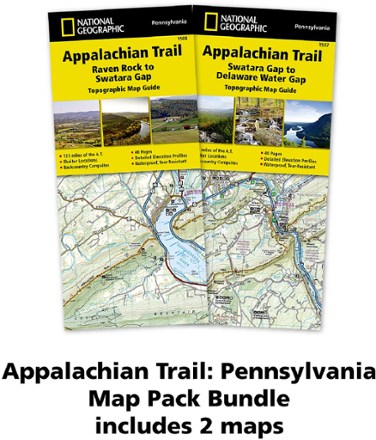
The Appalachian Trail (AT) map pack for Pennsylvania covers the entire AT in the Keystone State. These maps follow the ridges of the Appalachian Mountains as the trail weaves in and out of suburbia.
Features
- This section of the AT, which is notoriously rocky, is rich in history with traces of early industry—charcoal furnaces, railroads and coal mining
- Pack includes 2 detailed topographic map guide booklets centered on the AT and overlapping with adjacent sections to reduce your chances of getting lost
- Built for all levels of hiking enthusiasts—from day-tripper to thru-hiker—these Topographic Map Guides are more convenient and easier to use than folded maps
- Front pages include resupply information, town inset maps, camping options and much more
- Printed on "Backcountry Tough" waterproof, tear-resistant paper with stainless-steel staples
- Along the bottom of each page, a trail profile shows distances between shelters, camping areas and trail access points
- Map and trail profile provide a step-by-step visual guide to hiking the trail, mile by rugged mile
- A full UTM grid is printed on the map to aid with digital navigation
- Your purchase helps support National Geographic Society nonprofit's mission of research, education, conservation and exploration
- 1:63,360 scale means 1 in. equals 1 mile