Filters
No categories available
No brands available
Mountain West Maps
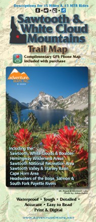
Sawtooth and White Cloud Mountains Trail Map
Adventure MapsFor awe-inspiring views of pristine lakes, peaks and landscapes, Adventure Maps Sawtooth and White Cloud Mountains map is your navigational link to take it all in by foot, mountain bike or horseback.
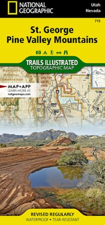
St. George Pine Valley Mountains Topographic Map
National GeographicNo matter how you like to spend your weekend, you can use the highly detailed maps of the National Geographic St. George Pine Valley Mountains topographic map to plan your outing.
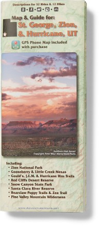
St. George, Zion & Hurricane, Utah Map & Guide
Adventure MapsJust imagine the epic scenery and landscapes you'll find hiking, biking and exploring with the richly detailed and waterproof Adventure Maps St. George, Zion & Hurricane, Utah map to guide your way.
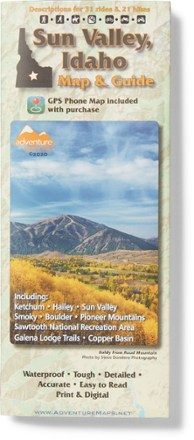
Sun Valley, ID Trail Map
Adventure MapsGrab this waterproof, topographic Sun Valley, Idaho trail map from Adventure Maps to plan adventures in Ketchum, Hailey, the Smoky, Boulder and Pioneer Mountains, and the Sawtooth Recreation Area.
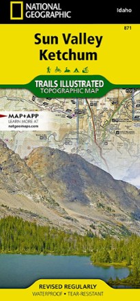
Sun Valley, Ketchum Topographic Map
National GeographicExplore central Idaho's world-renowned ski resort, Sun Valley, nearby Ketchum and the surrounding Sawtooth National Forest with this Trails Illustrated Sun Valley, Ketchum topographic trail map.

Teton Range Core Trails Map
Beartooth PublishingDedicated exclusively to the central and southern Teton Range, the Beartooth Publishing Teton Range Core Trails map is your guide to one of the best hiking destinations in the U.S.
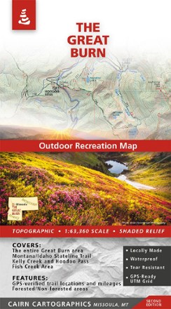
The Great Burn Map - 2nd Edition
Cairn CartographicsMade and researched locally, the 2nd edition of The Great Burn Map covers the area on the Montana/Idaho border just west of Missoula including Kelly Creek, Hoodoo Pass and the Fish Creek area.
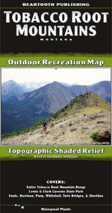
Tobacco Root Mountains, MT, Outdoor Recreation Map
Beartooth PublishingThe Tobacco Root Mountains, between Bozeman and Butte, is one of the most scenic ranges in Montana. With this topographic map from Beartooth Publishing, you'll find trails to hike, ride and more.
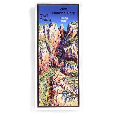
Trail Tracks: Zion National Park Hiking Map
Four-color aerial perspective map for day hikers and backpackers alike gives trail ratings according to distance and elevation gain
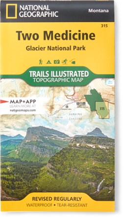
Two Medicine/Glacier National Park Topographic Map
National GeographicExpertly researched and created with land management agencies, this National Geographic Two Medicine topographic map details information for exploring southeastern Glacier National Park year-round.
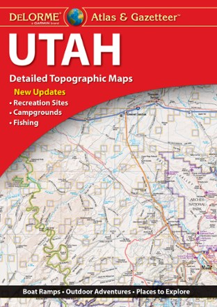
Utah Atlas & Gazetteer
DeLormeWhether hitting up the national parks or going deep into the backcountry, plan your trip to the Beehive Sate with detailed help from the Utah Atlas & Gazetteer large-format topographic map.
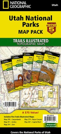
Utah National Parks Map Pack
National GeographicThe Trails Illustrated Utah National Parks map pack combines 5 iconic national parks in the high desert of Utah into a single, easy-to-use bundle.
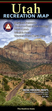
Utah Recreation Map
Benchmark MapsAn ideal planning tool for everything outdoors, the Utah Recreation Map is your detailed guide for day hikes and longer adventures alike in one of the Beehive State's rugged parks or wilderness areas.
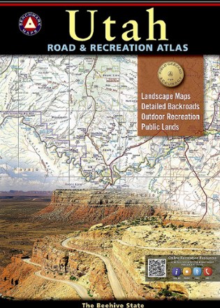
Utah Road & Recreation Atlas - 8th Edition
Benchmark MapsExplore the Beehive State with the Benchmark Maps Utah Road and Recreation Atlas as your navigator. Its filled with easy-to-read, shade-relief maps and loads of recreation activities to stop off for.