Filters
No categories available
No brands available
Mountain West Maps
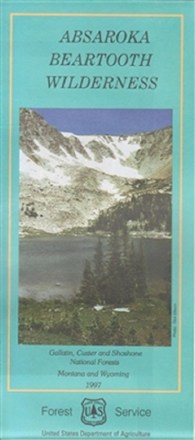
Absaroka Beartooth Wilderness Map
Plan an adventure with this map of the Absaroka Beartooth Wilderness, featuring a rugged, picturesque topography containing hundreds of lakes, high-rolling plateaus and deep, glacier-carved valleys.

Absaroka Beartooth Wilderness Map
Beartooth PublishingTake along this GPS-ready, weather-resistant topographic map on your next trip to the Absaroka Beartooth Wilderness.

Absaroka-Beartooth Wilderness East Map
National GeographicThe Trails Illustrated Absaroka-Beartooth Wilderness East map offers comprehensive coverage of this wilderness in south central Montana, home to the state's highest peak.
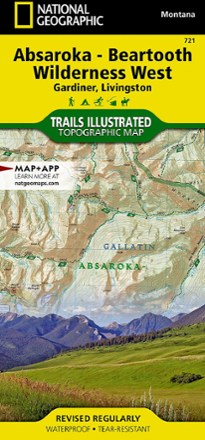
Absaroka-Beartooth Wilderness West Map
National GeographicThe Trails Illustrated Absaroka-Beartooth Wilderness West map offers comprehensive coverage of this wilderness in south central Montana, home to the state's highest peak.
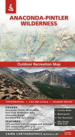
Anaconda-Pintler Wilderness Map - 2nd Edition
Cairn CartographicsPlan your trip to Montana with the help of this map, which covers the Anaconda-Pintler Wilderness, East Fork Bitterroot area and the Northern Big Hole Valley.
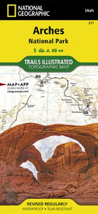
Arches National Park Trail Map
National GeographicThis adventure-ready Trails Illustrated map offers comprehensive coverage of Utah's Arches National Park in colorful, vivid detail.
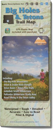
Big Holes and Tetons Trail Map
Adventure MapsHike, bike and explore the borderlands of beautiful southeast Idaho with the richly detailed and waterproof Adventure Maps Big Holes and Tetons map to guide your way.
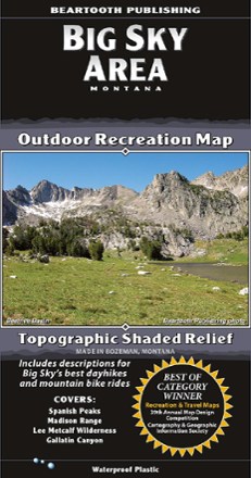
Big Sky Area Recreation Map
Beartooth PublishingCovering the Big Sky area from the Spanish Peaks to Yellowstone's Bighorn Pass Trailhead, this map from Beartooth Publishing features a larger scale that's ideal for trail and backcountry use.
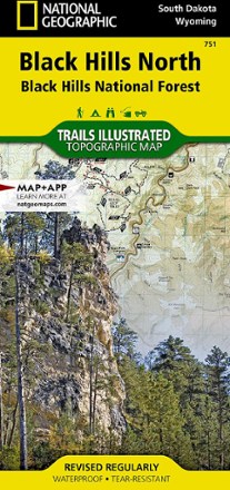
Black Hills Northeast Trail Map
National GeographicThis detailed Trails Illustrated map offers comprehensive coverage of the northeast Black Hills in South Dakota.
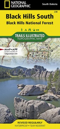
Black Hills Southeast Topographic Map
National GeographicThe detailed Trails Illustrated Black Hills Southeast topographic map offers comprehensive coverage of the southeast Black Hills in South Dakota.

Bob Marshall Wilderness Complex South Half Outdoor Recreation Map - 5th Edition
Cairn CartographicsCovering the south half of the Bob Marshall Wilderness Complex, this Cairn Cartographics map features GPS data from the summer and fall of 2010, making for accurate trail locations and mileages.
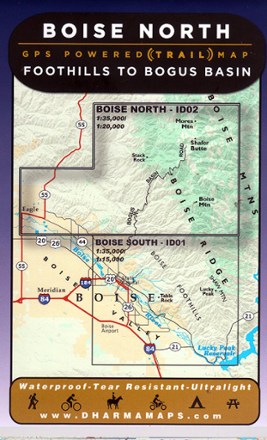
Boise North: Foothills to Bogus Basin Map
Venture to the wilderness north of Boise with Boise North: Foothills to Bogus Basin map, a waterproof map built for rugged adventures with well marked trailheads and numbered trails.
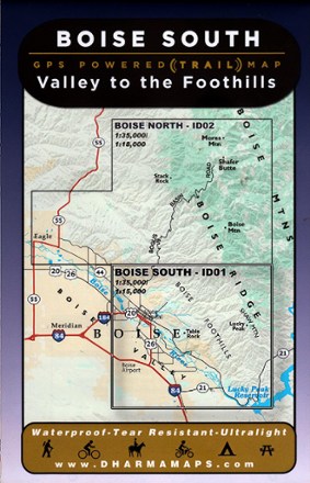
Boise South: Valley to the Foothills Map
Leading from the Boise valley to the foothills, Boise South: Valley to the Foothills map sets the course to rugged adventures with well-marked trailheads and numbered trails in a waterproof design.

Boise, Trinity Mountain Topographic Map
National GeographicExplore the playground of trails and outdoor recreation areas north and east of Boise, Idaho, with the National Geographic Boise, Trinity Mountain Topographic map.