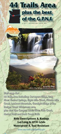
44 Trails Area Trail Map 2017
Adventure MapsDiscover beautiful waterfalls in the sprawling wilderness that spans the Oregon/Washington border with the 44 Trails Area trail map as your guide to the area's scenic hikes and mountain bike trails.
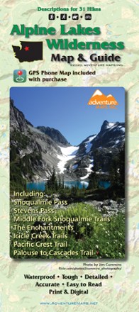
Alpine Lakes Wilderness Map & Guide - 2020
Adventure MapsThe Alpine Lakes Wilderness Adventure Map & Guide is a waterproof, topographic (lat/long, UTM grids) trail map that includes hiking descriptions covering this spectacular region.
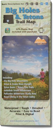
Big Holes and Tetons Trail Map
Adventure MapsHike, bike and explore the borderlands of beautiful southeast Idaho with the richly detailed and waterproof Adventure Maps Big Holes and Tetons map to guide your way.
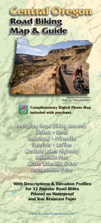
Central Oregon Road Biking Map
Adventure MapsRide the incredible volcanic and high desert landscapes of central Oregon with the Adventure Maps Central Oregon Road Biking map as your guide to 32 rides you can even download to your phone.
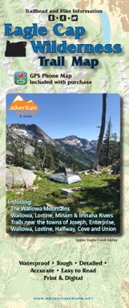
Eagle Cap Wilderness Trail Map - 2020
Adventure MapsThe Eagle Cap Wilderness Trail Map is a waterproof, topographic (lat/long, UTM grids) trail map that includes hiking descriptions covering the Wallowa Mountains, including the Eagle Cap Wilderness.

Grand Teton National Park & Jackson Hole Trail Map
Adventure MapsHike, bike and explore Wyoming's treasures with the richly detailed and waterproof Adventure Maps Grand Teton National Park & Jackson Hole map to guide your way.
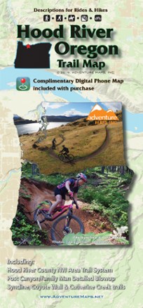
Hood River Oregon Trail Map
Adventure MapsThe Hood River area offers a wealth of recreational opportunities. Plan your adventure with this Adventure Maps Hood River Oregon topographic trail map and matching digital map for use on your phone.

Lake Tahoe Basin Trail Map - 2020
Adventure MapsThe Adventure Maps Lake Tahoe Basin Trail Map is a waterproof, topographic map (lat/long, UTM grids) that includes detailed route descriptions for Tahoe area trails to ride, run, hike and XC ski.
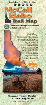
McCall Idaho Trail Map
Adventure MapsThe McCall area in central Idaho boasts more than 500 miles of public trails. Start exploring them with this handy Adventure Maps McCall Idaho trail map and matching digital map for use on your phone.

Mount Jefferson, Bull of the Woods & Opal Creek Wilderness Trail Map
Adventure MapsFeaturing descriptions to 27 hikes, Adventure Maps Mount Jefferson map is your navigational link to the area's incredible volcanic landscapes, old-growth forests and pristine lakes.
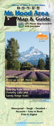
Mt. Hood Area Map & Guide
Adventure MapsEnjoy the old-growth trees, clear mountain streams and high-alpine views of Oregon's Mt. Hood area with this waterproof hiking map and guide from Adventure Maps.
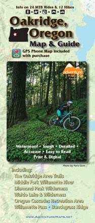
Oakridge, Oregon Map & Guide - 2020
Adventure MapsThe waterproof, topographic Oakridge, Oregon Adventure Map features route descriptions for MTB, hiking and equestrian trails passing through dense forest and wildflower-carpeted meadows.
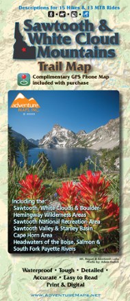
Sawtooth and White Cloud Mountains Trail Map
Adventure MapsFor awe-inspiring views of pristine lakes, peaks and landscapes, Adventure Maps Sawtooth and White Cloud Mountains map is your navigational link to take it all in by foot, mountain bike or horseback.

Sequoia & Kings Canyon National Park Trail Map
Adventure MapsDesign your own Californian national park adventure with this Adventure Maps Sequoia & Kings Canyon National Park topographic trail map. It comes with a matching digital map for use on your phone.