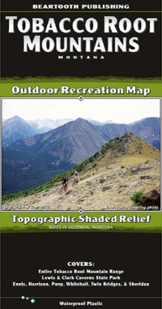
Tobacco Root Mountains, MT, Outdoor Recreation Map
Tech Specs
Specifications are maintained on Pack4Back GearDB (community edits and revision history). Values may differ from the manufacturer or your unit—verify before buying.
BrandBeartooth Publishing
Best UseHiking
State / ProvinceMontana
Folded Dimensions8 x 4.2 inches
Unfolded Dimensions39.2 x 25.2 inches
Map Scale1:50,000
Double SidedYes
WaterproofYes
PublisherBeartooth Publishing
Description
The Tobacco Root Mountains, between Bozeman and Butte, is one of the most scenic ranges in Montana. With this topographic map from Beartooth Publishing, you'll find trails to hike, ride and more.
Features
- In this region, hikers will find several high elevation trails to alpine lakes, and mountain bikers can choose from rides which are among the best in Montana
- About 2 dozen of the area's trails are open to motorcyclists, while about a dozen are open to ATV riders