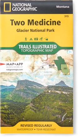

Two Medicine/Glacier National Park Topographic Map
Tech Specs
Specifications are maintained on Pack4Back GearDB (community edits and revision history). Values may differ from the manufacturer or your unit—verify before buying.
BrandNational Geographic
Best UseBackpacking
State / ProvinceMontana
Folded Dimensions7.50 x 4.00 inches
Unfolded Dimensions37.75 x 25.5 inches
Map Scale1:50,000
Double SidedYes
WaterproofYes
PublisherNational Geographic
Copyright Year2021
Map Number315
Description
Expertly researched and created with land management agencies, this National Geographic Two Medicine topographic map details information for exploring southeastern Glacier National Park year-round.
Features
- Includes helpful contact information; backcountry, hiking and camping tips and regulations; snow hazard areas; safety tips and more
- Shows key areas of interest including John Stevens Canyon, St. Mary's Lake, Lake McDonald and the historic Going-to-the-Sun Road
- Clearly marks suspension bridges, plank bridges and unbridged stream crossing, as well as contour lines and elevations for summits
- Depicts recreational features such as campgrounds, picnic areas, ski areas, boat rentals/river access points and trailheads
- Provides information on shuttle routes and stops for both the Lake McDonald and St. Mary's Valley shuttles to experience the Going-to-the-Sun Road without a car
- Features Flathead National Forest, Glacier, Great Bear Wilderness, Lewis & Clark National Forest, Mount Saint Nicholas and Mount Stimson
- Full UTM grid is printed on the map to aid with navigation
- Printed on Backcountry Tough waterproof, tear-resistant paper
- Your purchase helps support National Geographic Society nonprofit's mission of research, education, conservation and exploration