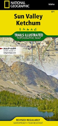


Sun Valley, Ketchum Topographic Map
Tech Specs
Specifications are maintained on Pack4Back GearDB (community edits and revision history). Values may differ from the manufacturer or your unit—verify before buying.
BrandNational Geographic
Best UseHiking
Folded Dimensions9.25 x 4.25 x .3 inches
Unfolded Dimensions37.75 x 25.5 inches
Map Scale1:75,000
Double SidedYes
WaterproofYes
PublisherNational Geographic
Copyright Year2020
State / ProvinceIdaho
Map Number871
Description
Explore central Idaho's world-renowned ski resort, Sun Valley, nearby Ketchum and the surrounding Sawtooth National Forest with this Trails Illustrated Sun Valley, Ketchum topographic trail map.
Features
- Ketchum was the final home to the famous writer Ernest Hemingway, who frequented the Sun Valley area to fish, hunt and write
- Located in the Wood River Valley, the towns of Sun Valley and Ketchum lead visitors into the wilds of the Pioneer, Smoky, Soldier and Boulder mountain ranges
- Miles of trails popular for hiking, mountain biking, snowmobiling and OHV use create endless opportunities for recreation
- With hundreds of miles of mapped trails, this map can guide you off the beaten path and back again in some of the most breathtaking scenery in the region
- Details on trail mileages, trail use and seasonal closures will assist in choosing the path that's right for you
- Recreation features are clearly marked, including campgrounds, trailheads, boat launches, ski areas and other points of interest
- Every Trails Illustrated map is printed on "Backcountry Tough" waterproof, tear-resistant paper
- A full UTM grid is printed on the map to aid with digital navigation
- Your purchase helps support National Geographic Society nonprofit's mission of research, education, conservation and exploration