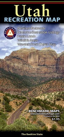


Utah Recreation Map
Tech Specs
Specifications are maintained on Pack4Back GearDB (community edits and revision history). Values may differ from the manufacturer or your unit—verify before buying.
BrandBenchmark Maps
Best UseTravel
Folded Dimensions22.9 × 10.2 cm
Unfolded Dimensions86.4 × 68.6 cm
Double SidedYes
PublisherBenchmark
Copyright Year2017
State / ProvinceUtah
Map Number0
Description
An ideal planning tool for everything outdoors, the Utah Recreation Map is your detailed guide for day hikes and longer adventures alike in one of the Beehive State's rugged parks or wilderness areas.
Key facts
- Featuring Benchmark's field-checked accuracy and cartographic excellence, this map shows public lands, highway details, point-to-point mileages and recreation attractions
- Also includes campgrounds, parks, wildlife areas, boating and fishing access points and game management units
- Reverse side features a regional map of Salt Lake City and the Wasatch Front, statewide points of interest, helpful descriptions, contact information and map grid references