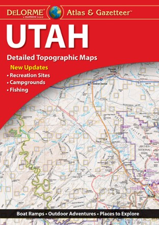
Utah Atlas & Gazetteer
Tech Specs
Specifications are maintained on Pack4Back GearDB (community edits and revision history). Values may differ from the manufacturer or your unit—verify before buying.
BrandDeLorme
Best UseTravel
State / ProvinceUtah
Folded Dimensions15.5 x 11 x 1 inches
Unfolded Dimensions15.5 x 22 x 1 inches
Map Scale1:235,000
Double SidedYes
WaterproofYes
PublisherGarmin
Copyright Year2022
Description
Whether hitting up the national parks or going deep into the backcountry, plan your trip to the Beehive Sate with detailed help from the Utah Atlas & Gazetteer large-format topographic map.
Features
- Includes recreation sites, campgrounds, fishing spots, boating ramps, golf courses and more
- Map shows elevation contours, major highways and roads, dirt roads, trails and land use data
- Gazetteer section provides essential information on points of interest, landmarks, state and national parks, historic sites, scenic drives and more