Filters
No categories available
No brands available
Mountain West Maps
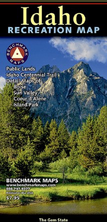
Idaho Recreation Map
Benchmark MapsGet your Gem State adventures on with this Benchmark Maps Idaho Recreation map. It features plenty of parks, public lands, wildlife and campground info, plus point-to-point mileages to get you there.
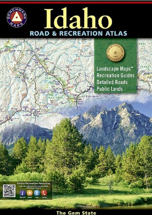
Idaho Road & Recreation Atlas - 6th Edition
Benchmark MapsUse the Benchmark Maps Idaho Road & Recreation Atlas to get out and discover the great state of Idaho. It boasts vivid, easy-to-read landscape maps and recreational details for even more outdoor fun.
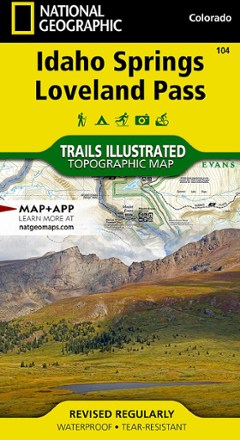
Idaho Springs/Georgetown/Loveland Pass Trail Map
National GeographicThis Trails Illustrated map will help you plan trips and explore the area in and around Colorado's Idaho Springs, Georgetown and Loveland Pass.
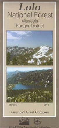
Lolo National Forest - Missoula Ranger District Map
Discover 40,000 acres of public lands ready for hiking, mountain biking, horseback riding and more in the Missoula Ranger District. Plan your outdoor adventure with this map of Lolo National Forest.
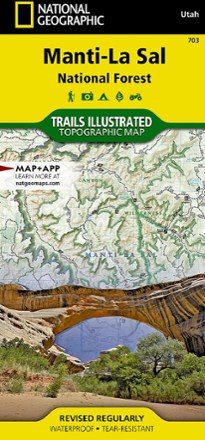
Manti La Sal National Forest Trail Map
National GeographicThis National Geographic Trails Illustrated folded map offers comprehensive coverage of Utah's Manti La Sal National Forest area.
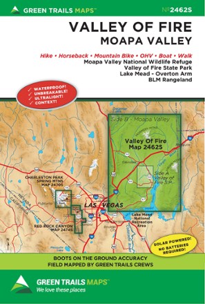
Map 2462S - Valley of Fire, NV
Green TrailsStretching from the Mormon Mountains to the Overton Arm of Lake Mead, the Green Trails Valley of Fire map (2462S) offers a beautifully detailed topographic guide to this region in southern Nevada.
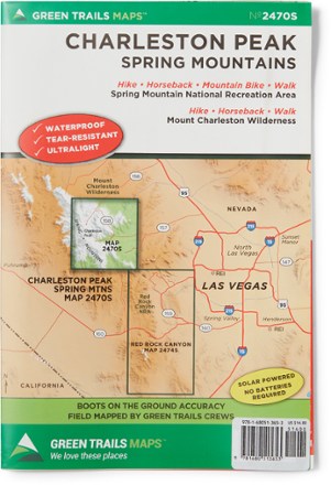
Map 2470S - Charleston Peak, Spring Mountains
Green TrailsExplore Charleston Peak and the Spring Mountains National Recreation Area with Green Trails Map 2470S, a beautifully detailed topographic guide to this region of Nevada.
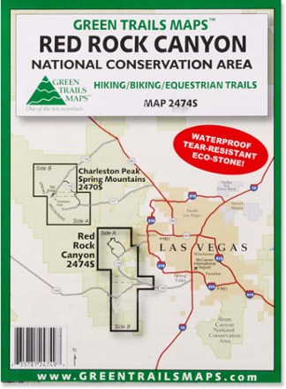
Map 2474S - Red Rock Canyon National Conservation Area
Green TrailsStretching from Calico Basin to Cottonwood Valley, the Green Trails Red Rock Canyon National Conservation Area map (2474S) is a detailed topographic guide to this region near Las Vegas, Nevada.
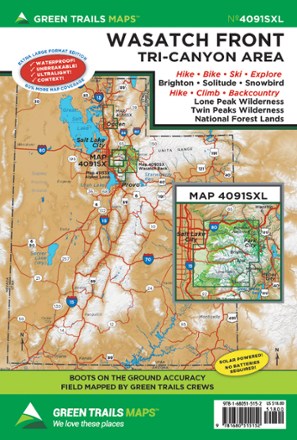
Map 4091SXL - Wasatch Front
Green TrailsWhether you're looking for a day hike close to the city or backcountry access, the Green Trails Maps Wasatch Front map will keep you up to date on the trails, access and more of the Tri-Canyon area.
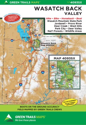
Map 4093SX - Wasatch Back, UT
Green TrailsStretching from to Wanship to Sundance, the Green Trails Wasatch Back map (4093SX) offers a beautifully detailed topographic guide to this region in Utah.
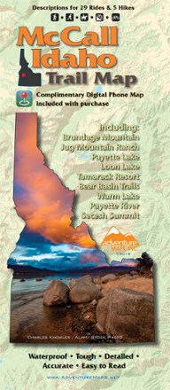
McCall Idaho Trail Map
Adventure MapsThe McCall area in central Idaho boasts more than 500 miles of public trails. Start exploring them with this handy Adventure Maps McCall Idaho trail map and matching digital map for use on your phone.
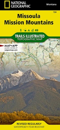
Missoula / Mission Mountains Topographic Map
National GeographicLooking to enjoy the abundant recreational lands in the mountains of western Montana? You'll find the Trails Illustrated Missoula / Mission Mountains topographic map an essential travel companion.
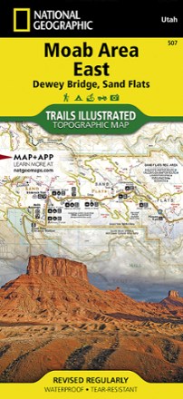
Moab Area East - Dewey Bridge, Sand Flats Map
National GeographicWhether you're going camping, hiking, mountain biking or rafting, the National Geographic Trails Illustrated Moab Area East - Dewey Bridge, Sand Flats map can help you navigate the area like a pro.
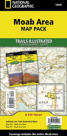
Moab Area Map Pack
National GeographicPlanning your next Moab adventure? Whether you're going camping, hiking, mountain biking or rafting, the National Geographic Trails Illustrated Moab Area map pack can help with your logistics.