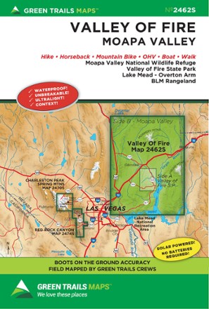
Map 2462S - Valley of Fire, NV
Tech Specs
Specifications are maintained on Pack4Back GearDB (community edits and revision history). Values may differ from the manufacturer or your unit—verify before buying.
BrandGreen Trails
Best UseHiking
State / ProvinceNevada
Folded Dimensions9 x 6 inches
Unfolded Dimensions24 x 18 inches
Map Scale1:45,000 /1:200,000
Double SidedYes
WaterproofYes
PublisherGreen Trails Maps
Copyright Year2020
Map Number2462S
Description
Stretching from the Mormon Mountains to the Overton Arm of Lake Mead, the Green Trails Valley of Fire map (2462S) offers a beautifully detailed topographic guide to this region in southern Nevada.
Features
- Covers Moapa Valley National Wildlife Refuge, Valley of Fire State Park, Lake Mead's Overton Arm and BLM Rangeland
- Green Trails Maps show current trail, road and access information to national forests, national parks, state and local parks, and other public lands
- Printed on waterproof and tear-resistant paper, this map withstands the rigors of adventures in less than ideal conditions