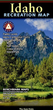


Idaho Recreation Map
Tech Specs
Specifications are maintained on Pack4Back GearDB (community edits and revision history). Values may differ from the manufacturer or your unit—verify before buying.
BrandBenchmark Maps
Best UseHiking
State / ProvinceIdaho
Folded Dimensions9 x 4.25 inches
Unfolded Dimensions38 x 27 inches
Map Scale1:833,333
Double SidedYes
PublisherBenchmark Maps
Map NumberBE0BENIDRM
Description
Get your Gem State adventures on with this Benchmark Maps Idaho Recreation map. It features plenty of parks, public lands, wildlife and campground info, plus point-to-point mileages to get you there.
Features
- One side features a full state map with public lands, details on highways, point-to-point mileages, recreation spots, campgrounds, fishing access points and inset area maps
- Inset area maps include Lake Coeur d'Alene, Greater Boise, Island Park and Ketchum–Sun Valley
- Reverse side includes a map of hunting zones and units, as well as categorized recreation listings with helpful descriptions, contact information and map grid references
- This is a folded map version of the Recreation Guide pages within the Idaho Road & Recreation Atlas from Benchmark Maps