
Map 2470S - Charleston Peak, Spring Mountains
Tech Specs
Specifications are maintained on Pack4Back GearDB (community edits and revision history). Values may differ from the manufacturer or your unit—verify before buying.
BrandGreen Trails
Best UseHiking
State / ProvinceNevada
Folded DimensionsUnavailable
Unfolded DimensionsUnavailable
Map ScaleUnavailable
WaterproofYes
PublisherGreen Trails Maps
Copyright Year2015
Map Number2470S
Description
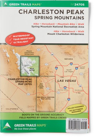
Explore Charleston Peak and the Spring Mountains National Recreation Area with Green Trails Map 2470S, a beautifully detailed topographic guide to this region of Nevada.
Features
- Coverage includes Spring Mountains National Recreation Area and Mount Charleston Wilderness
- Green Trails Maps show the most current trail, road, and access information to national forests, national parks, state and local parks and other public lands
- Printed on waterproof and tear-resistant paper, this map withstands the rigors of adventures in less than ideal conditions