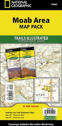
Moab Area Map Pack
Tech Specs
Specifications are maintained on Pack4Back GearDB (community edits and revision history). Values may differ from the manufacturer or your unit—verify before buying.
BrandNational Geographic
Best UseMultisport
State / ProvinceUtah
Folded Dimensions4.25 x 9.25 x .5 inches
Unfolded Dimensions37.75 x 25.5 inches
Map Scale1:90,000 / 1:37,500
Double SidedYes
WaterproofYes
PublisherNational Geographic
Copyright Year2022
Map Number506-507
Description
Planning your next Moab adventure? Whether you're going camping, hiking, mountain biking or rafting, the National Geographic Trails Illustrated Moab Area map pack can help with your logistics.
Features
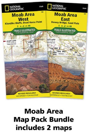
- Pack includes Moab Area West (#506) topographic map and Moab Area East (#507) topographic map
- The area's extensive mountain bike trail systems are clearly mapped and labeled
- Trails are symbolized by use (hiking, mountain biking, OHV) with trail difficulty indicated for mountain bike trails
- Trail segments are labeled with distances between junctions, and all trailheads and trail junctions are labeled with elevations
- 4x4 trails are highlighted in yellow with notes for obstacles and features along the route
- Group, primitive and developed campgrounds are shown with their amenities and the total number of sites
- Colorado River access points and mileages are mapped and labeled for river recreation
- Visitor centers, interpretive trails and scenic overlooks are prominently mapped and labeled with their amenities
- OHV, biker and desert safety tips, laws and etiquette are also provided
- Every Trails Illustrated map is printed on "backcountry tough" waterproof, tear-resistant paper