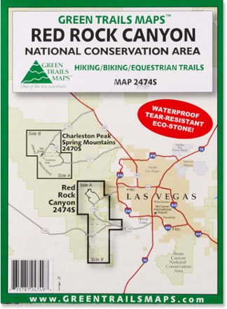
Map 2474S - Red Rock Canyon National Conservation Area
Tech Specs
Specifications are maintained on Pack4Back GearDB (community edits and revision history). Values may differ from the manufacturer or your unit—verify before buying.
BrandGreen Trails
Best UseHiking
State / ProvinceNevada
Map Scale1:30,000
WaterproofYes
PublisherMountaineers Books
Copyright Year2016
Map Number2474S
Description
Stretching from Calico Basin to Cottonwood Valley, the Green Trails Red Rock Canyon National Conservation Area map (2474S) is a detailed topographic guide to this region near Las Vegas, Nevada.
Features
- This detail map of Red Rock Canyon covers Spring Mountain Ranch State Park and the Blue Diamond/Cottonwood Valley Mountain Bike Area
- Green Trails Maps show current trail, road and access information to national forests, national parks, state and local parks, and other public lands