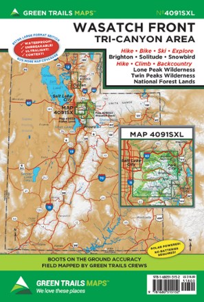
Map 4091SXL - Wasatch Front
Tech Specs
Specifications are maintained on Pack4Back GearDB (community edits and revision history). Values may differ from the manufacturer or your unit—verify before buying.
BrandGreen Trails
Best UseHiking
State / ProvinceUtah
Folded Dimensions9 x 6 inches
Unfolded Dimensions36 x 22.5 inches
Double SidedYes
WaterproofYes
PublisherGreen Trails Maps
Copyright Year2022
Map Number4091SXL
Description
Whether you're looking for a day hike close to the city or backcountry access, the Green Trails Maps Wasatch Front map will keep you up to date on the trails, access and more of the Tri-Canyon area.
Features
- Includes hiking, biking, skiing, climbing and more
- Provides up-to-date trail, road and access information to national forests, national parks, state and local parks, and other public lands
- Covers the Tri-Canyon area including Lone Peak wilderness, Twin Peaks wilderness and national forest lands
- Map is lightweight, waterproof and durable
- Field-mapped by Green Trails crews for boots-on-the-ground accuracy