Filters
No categories available
No brands available
North America Maps
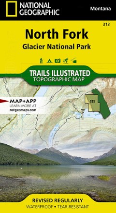
North Fork: Glacier National Park Topographic Map
National GeographicThe Trails Illustrated North Fork: Glacier National Park topographic map will benefit even the most experienced outdoors enthusiast exploring this pristine landscape blessed with very few amenities.
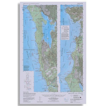
North Olympic Coast Map
Custom CorrectTopographic map shows trails, beach routes and headland tides from La Push north to Cape Flattery
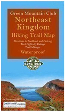
Northeast Kingdom Hiking Trail Map
Green Mountain ClubExplore Vermont's Northeast Kingdom hiking trails. This Green Mountain Club map now includes the Kingdom Heritage Trail on Middle Mountain and Bluff Ridge, plus trail relocation on Wheeler Mountain.

Northern New Jersey Highlands Trails - 13th Edition
New York New Jersey TrailThe revised Northern New Jersey Highlands Trails Map is a 4-map set with more than 360 mi. of marked trails and more than 40 parks and preserves in the northern Highlands region of New Jersey.

Northern San Diego County Bikeways and Trail Maps
Franko's MapsDiscover sunny San Diego county on 2 wheels with the comprehensive Franko's Maps Northern San Diego County Bikeways and Trails map.
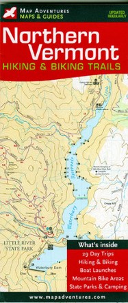
Northern Vermont Hiking & Biking Trails Map
Map AdventuresDiscover some of the best hikes and MTB rides along mountain summits, pristine lakes, hidden footpaths and open fields with the Map Adventures Northern Vermont hiking & biking trails map.
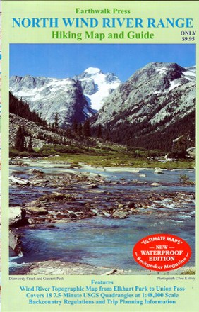
Northern Wind River Range Hiking Map And Guide
Double-sided topographic map covering the northern half of the Wind River Range from Union Pass, WY to Elkhart Park
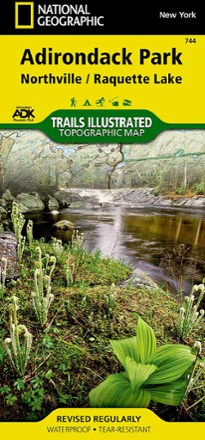
Northville/Raquette Lake Trail Map
National GeographicThis highly detailed Trails Illustrated folded map offers clear, concise coverage of Northville and Raquette Lake in New York.
North America MapsNew England and Mid Atlantic Maps - DEPRECATED

Novato-North Marin Trail Map
Tom Harrison CartographyDiscover hiking, running and mountain biking trails in the Tom Harrison Cartography Novato–North Marin trail map, and explore all this rolling, oak-studded region has to offer.
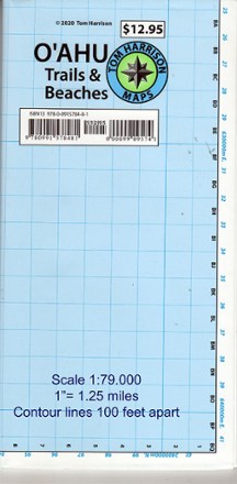
O'ahu Trails and Beaches Map
Tom Harrison CartographyVenturing to the scenic beaches and trails of the Hawaiian islands for the first time? Tom Harrison Cartography O'ahu Trails and Beaches map leads the way to a paradise of adventure waiting for you.

Oakridge, Oregon Map & Guide - 2020
Adventure MapsThe waterproof, topographic Oakridge, Oregon Adventure Map features route descriptions for MTB, hiking and equestrian trails passing through dense forest and wildflower-carpeted meadows.
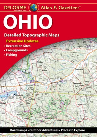
Ohio Atlas and Gazetteer - 2022 Edition
DeLormeA great companion for outdoor recreation and trip planning, the DeLorme Ohio Atlas and Gazetteer covers every inch of the Buckeye State in fine detail.
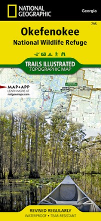
Okefenokee National Wildlife Refuge Topographic Map
National GeographicThe Trails Illustrated Okefenokee National Wildlife Refuge topographic map covers 630 square miles in southeast Georgia, encompassing nearly all of the world-renowned Okefenokee Swamp.
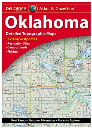
Oklahoma Atlas and Gazetteer
DeLormeSee all the cities and sites across the Sooner State with the DeLorme Oklahoma Atlas and Gazetteer, covering every inch of the 46th state in vivid detail.