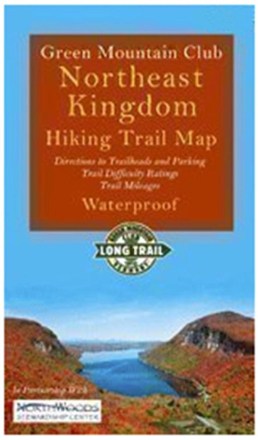
Northeast Kingdom Hiking Trail Map
Tech Specs
Specifications are maintained on Pack4Back GearDB (community edits and revision history). Values may differ from the manufacturer or your unit—verify before buying.
BrandGreen Mountain Club
Best UseHiking
State / ProvinceVermont
Folded Dimensions6 x 3.5 x 0.5 inches
Unfolded Dimensions17.75 x 14 inches
Map Scale1:28,000
Double SidedYes
WaterproofYes
PublisherGreen Mountain Club
Copyright Year2020
Description
Explore Vermont's Northeast Kingdom hiking trails. This Green Mountain Club map now includes the Kingdom Heritage Trail on Middle Mountain and Bluff Ridge, plus trail relocation on Wheeler Mountain.
Features
- Also includes trails around Lake Willoughby and Wheeler Pond, plus Burke, Gore, Monadnock (Vermont), Bluff, Brousseau and Averill Mountains
- Includes directions to trailheads, trail mileages and difficulty ratings
- Sales of this map support the Green Mountain Club, a member-supported, nonprofit organization which has maintained and protected the Long Trail since 1910