
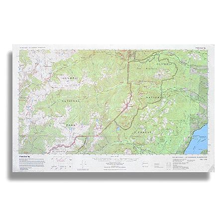
Buckhorn Wilderness Map
Custom CorrectTopographic trail map of the Buckhorn Wilderness as well as connecting trails in the adjacent part of Olympic National Park
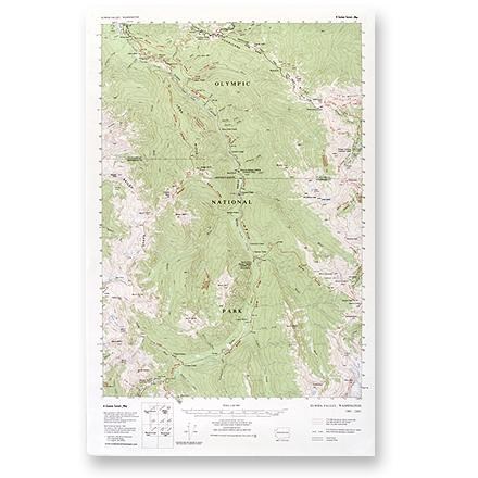
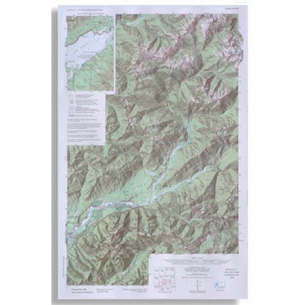
Elwha Valley Map
Custom CorrectThis topographic trail map to the Elwha Valley of Olympic National Park is a highly detailed reference for route finding.
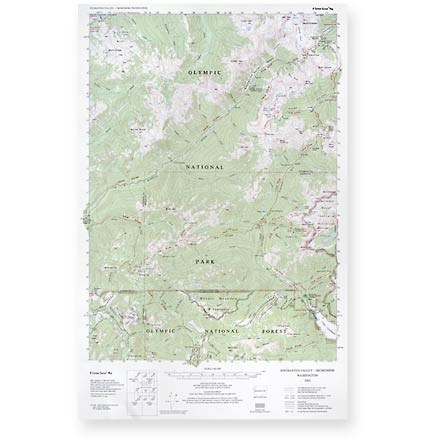
Enchanted Valley - Skokomish Map
Custom CorrectThis topographic trail map to the Enchanted and Skokomish Valleys of Olympic National Park is a highly detailed reference for route finding.
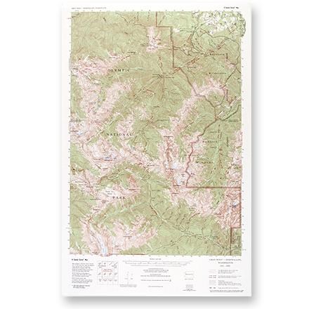
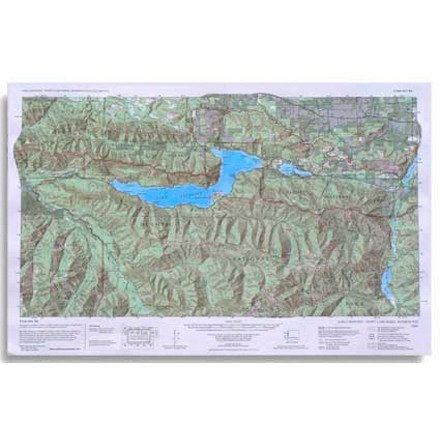
Gray Wolf - Dosewallips Map
Custom CorrectLarge-scale, topographic map of the Gray Wolf/Dosewallips area of Olympic National Park and Buckhorn Wilderness.
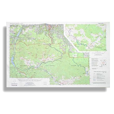
Hurricane Ridge Map
Custom CorrectRoute your trip from Lake Mills, Badger Valley, Blue Mountain to Lake Aldwell
Lake Crescent, Happy Lake Ridge, Washingon Topo-Map
Custom CorrectA custom correct topographic map of the Lake Crescent, Happy Lake Ridge area of Olympic National Park in Washington State
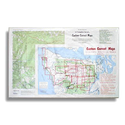
Map Set - Olympic Pennisula
Custom CorrectCustom topographic map, set to the trails of Olympic National Park and the Olympic Peninsula--specially formatted for hikers and climbers
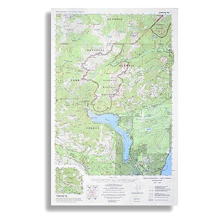
Mount Skokomish - Lake Cushman Map
Custom CorrectTopographic trail map of Mount Skokomish Wilderness, North and South Skokomish River trails, and the Lake Cushman Area
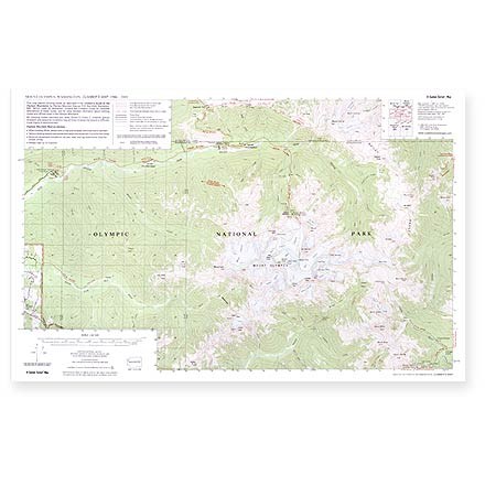
Mt. Olympus Climber'sTopo Map
Custom CorrectThis map depicts climbing routes as described in the Climber's Guide to the Olympic Mountains by Olympic Mountain Rescue.
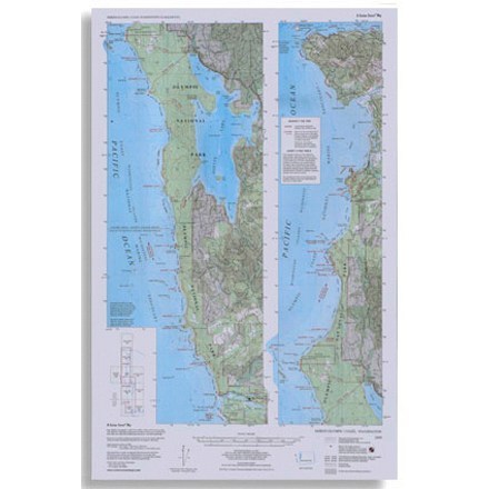
North Olympic Coast Map
Custom CorrectTopographic map shows trails, beach routes and headland tides from La Push north to Cape Flattery
Quinault Colonel Bob - 4th Edition
Custom CorrectOlympic National Park topographic map scale 1:62 500
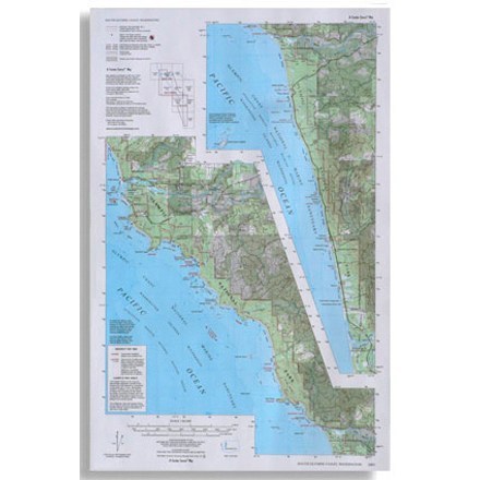
South Olympic Coast Map
Custom CorrectCompiled and rescribed from USGS base maps, this map shows trails along the south Olympic coast of Washington
The Brothers - Mt. Anderson Map
Custom CorrectTopographic trail map of The Brothers Wilderness and the adjacent part of Olympic National Park west to Mt. Anderson and O'Neil Pass