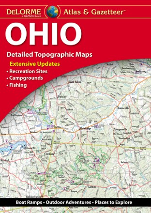
Ohio Atlas and Gazetteer - 2022 Edition
Tech Specs
Specifications are maintained on Pack4Back GearDB (community edits and revision history). Values may differ from the manufacturer or your unit—verify before buying.
BrandDeLorme
Best UseTravel
State / ProvinceOhio
Folded Dimensions15.5 x 11 x 1 inches
Unfolded Dimensions22 x 15.5 x 1 inches
Map Scale1:160,000
Double SidedYes
WaterproofYes
PublisherGarmin
Copyright Year2022
Description
A great companion for outdoor recreation and trip planning, the DeLorme Ohio Atlas and Gazetteer covers every inch of the Buckeye State in fine detail.
Features
- Includes amazingly detailed and beautifully crafted, large-format paper maps that are perfect for sightseeing, exploring back roads, outdoor recreation and trip planning
- While available information varies by state, DeLorme maps generally provide information essential for any outdoor enthusiast
- Topographic maps have elevation contours, major highways and roads, dirt roads, trails and land-use data
- Includes info on points of interest, landmarks, state and national parks, campgrounds, boat launches, golf courses, historic sites, hunting zones, canoe trips and more