Filters
No categories available
No brands available
Mountain West Maps Deprecated
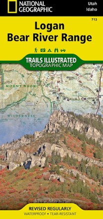
Logan / Bear River Range Topographic Map
National GeographicThe Trails Illustrated Logan / Bear River Range topographic map offers unparalleled detail for outdoor enthusiasts looking to explore this area of Colorado in any season.
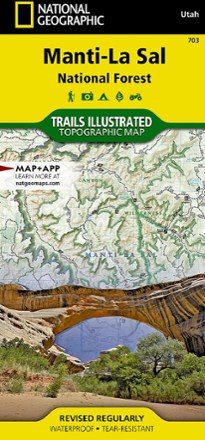
Manti La Sal National Forest Trail Map
National GeographicThis National Geographic Trails Illustrated folded map offers comprehensive coverage of Utah's Manti La Sal National Forest area.
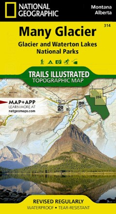
Many Glacier: Glacier and Waterton Lakes National Parks Topographic Map
National GeographicThe Trails Illustrated Many Glacier: Glacier and Waterton Lakes National Parks topographic map offers unparalleled detail for exploring the pristine landscapes within these 2 spectacular parks.
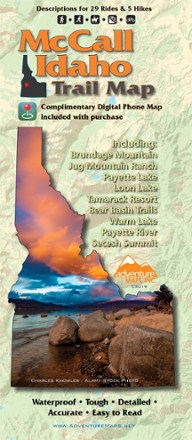
McCall Idaho Trail Map
Adventure MapsThe McCall area in central Idaho boasts more than 500 miles of public trails. Start exploring them with this handy Adventure Maps McCall Idaho trail map and matching digital map for use on your phone.
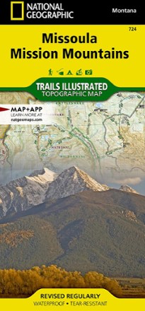
Missoula / Mission Mountains Topographic Map
National GeographicLooking to enjoy the abundant recreational lands in the mountains of western Montana? You'll find the Trails Illustrated Missoula / Mission Mountains topographic map an essential travel companion.
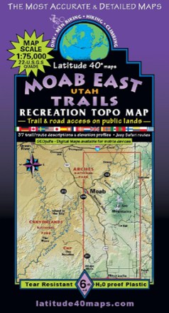
Moab East Utah Trails Map - 6th Edition
Latitude 40 MapsExplore the trails and roads of Moab East with the Latitude 40 Moab East Utah Trails Map, a full-color, waterproof topographic map leading you across an incredible stretch of eastern Utah.

Nevada Atlas and Gazetteer
DeLormeFar more than just its most famous towns, the Silver State is host to some exceptional recreation options. Explore them in fine detail with the DeLorme Nevada Atlas and Gazetteer.
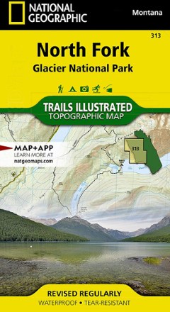
North Fork: Glacier National Park Topographic Map
National GeographicThe Trails Illustrated North Fork: Glacier National Park topographic map will benefit even the most experienced outdoors enthusiast exploring this pristine landscape blessed with very few amenities.

Rattlesnake Wilderness and Missoula Outdoor Recreation Map
Cairn CartographicsCovering the Rattlesnake Wilderness and prime recreation areas around Missoula, Montana, this Cairn Cartographics map features trail locations and mileages GPS-verified in the summer and fall of 2011.

San Rafael Swell Trail Map
National GeographicThis beautifully rendered Trails Illustrated folded map offers detailed coverage of Utah's San Rafael Swell area.
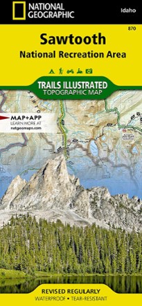
Sawtooth National Recreational Area Topographic Map
National GeographicIdaho's Sawtooth National Recreation Area sports more than 300 high-alpine lakes, 40 peaks over 10,000 ft. and hundreds of miles of trails. Explore it all with this Trails Illustrated topographic map.
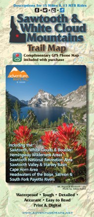
Sawtooth and White Cloud Mountains Trail Map
Adventure MapsFor awe-inspiring views of pristine lakes, peaks and landscapes, Adventure Maps Sawtooth and White Cloud Mountains map is your navigational link to take it all in by foot, mountain bike or horseback.
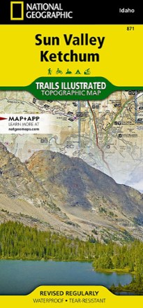
Sun Valley, Ketchum Topographic Map
National GeographicExplore central Idaho's world-renowned ski resort, Sun Valley, nearby Ketchum and the surrounding Sawtooth National Forest with this Trails Illustrated Sun Valley, Ketchum topographic trail map.
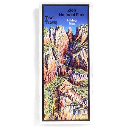
Trail Tracks: Zion National Park Hiking Map
Four-color aerial perspective map for day hikers and backpackers alike gives trail ratings according to distance and elevation gain