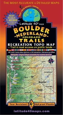
Boulder - Nederland Trails Map
Latitude 40 MapsA recreational topo map covering the beautiful terrain in and around Boulder County, Colorado, the Latitude 40 Maps Boulder - Nederland Trails map includes 48 trail descriptions for outdoor lovers.
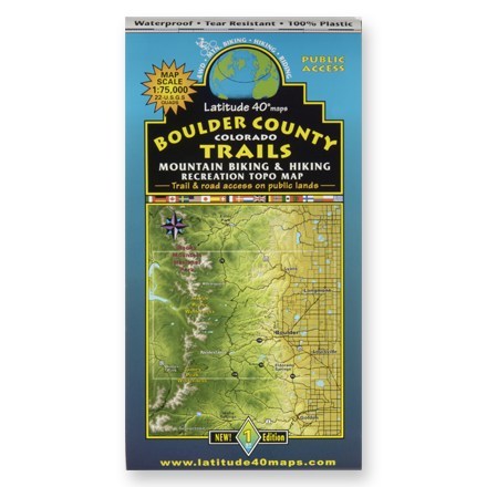
Boulder County Colorado Trails Map
Latitude 40 MapsA waterproof topographic map of Boulder County trails in Colorado for hiking and moutain biking

Classic Moab Trails - 8th Edition
Latitude 40 MapsExplore the best Moab has to offer with this Latitude 40 Maps Classic Moab Trails map. It's accurate, detailed and durable enough to use on the move, rain or shine.
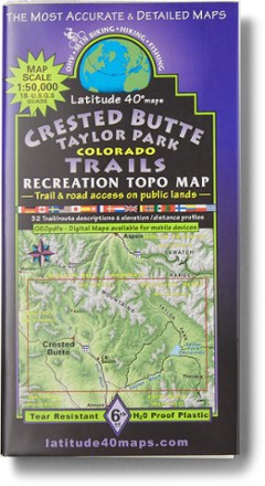
Crested Butte Taylor Park Map - 6th Edition
Latitude 40 MapsReady to explore the Colorado wild? This Latitude 40 Maps Crested Butte Taylor Park map helps you find your way through the region. It features information on 32 routes for all types of travel.
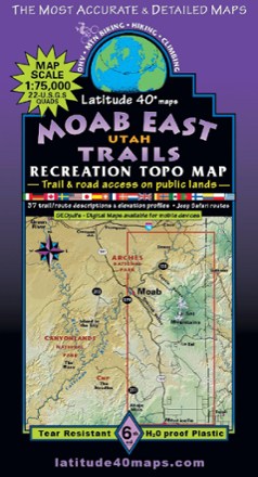
Moab East Utah Trails Map - 6th Edition
Latitude 40 MapsExplore the trails and roads of Moab East with the Latitude 40 Moab East Utah Trails Map, a full-color, waterproof topographic map leading you across an incredible stretch of eastern Utah.

Salida Buena Vista Trails Map - 5 Edition
Latitude 40 MapsReady to explore in the heart of the Rockies? Full of trails for mountain biking, hiking, OHV and fishing, this Latitude 40 Maps Salida Buena Vista Trails map is an ideal adventure buddy.
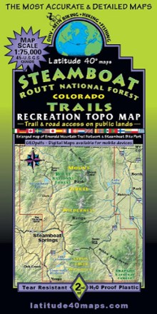
Steamboat - Routt National Forest Trails Map
Latitude 40 MapsA recreational topo map covering the Routt National Forest trails near Steamboat Springs, Colorado, this 2-sided map displays the north half on one side and the south half on reverse side.
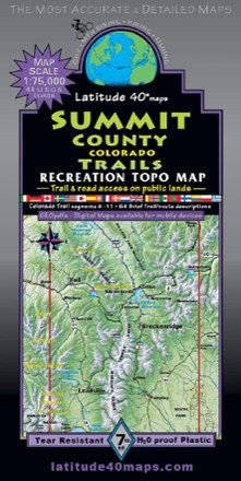
Summit County Trails - 7th Edition
Latitude 40 MapsRoam the peaks of Colorado with the help of this Summit County Trails map from Latitude 40 Maps. Made with waterproof and tear-resistant paper, it's ready to keep up with your wildest outdoor days.
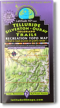
Telluride Silverton Ouray Map - 7th Edition
Latitude 40 MapsForge a route through the mountains with the help of this Latitude 40 Maps Telluride Silverton Ouray map. For even bigger trips through the San Juans, connect it to the Durango map (not included).