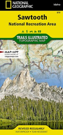


Sawtooth National Recreational Area Topographic Map
Tech Specs
Specifications are maintained on Pack4Back GearDB (community edits and revision history). Values may differ from the manufacturer or your unit—verify before buying.
BrandNational Geographic
Best UseBackpacking
Folded Dimensions9.25 x 4.25 x .3 inches
Unfolded Dimensions37.75 x 25.5 inches
Map Scale1:75,000
Double SidedYes
WaterproofYes
PublisherNational Geographic
Copyright Year2020
State / ProvinceIdaho
Map Number870
Description
Idaho's Sawtooth National Recreation Area sports more than 300 high-alpine lakes, 40 peaks over 10,000 ft. and hundreds of miles of trails. Explore it all with this Trails Illustrated topographic map.
Features
- Covers the Sawtooth, Cecil D. Andrus-White Clouds and Hemingway-Boulders wilderness areas, as well as the Sawtooth Range, Boulder Mountains and White Cloud Peaks
- The headwater of 4 major river systems originate here, including the Salmon River, which starts its 400-mile journey west from the Sawtooth Valley
- Recreational opportunities include cross-country skiing and mountain biking near Galena Summit, boating on Redfish Lake and floating the Salmon River
- With hundreds of miles of mapped trails, this map can guide you off the beaten path and back again in some of the most breathtaking scenery in the region
- Details on trail mileages, trail use and seasonal closures will assist in choosing the path that is right for you
- Clearly marked recreation features include campgrounds, trailheads, whitewater access points, interpretive trails, boat launches, Nordic ski areas and other points of interest
- Every Trails Illustrated map is printed on "Backcountry Tough" waterproof, tear-resistant paper
- A full UTM grid is printed on the map to aid with digital navigation
- Your purchase helps support National Geographic Society nonprofit's mission of research, education, conservation and exploration