Filtros
Books And Maps
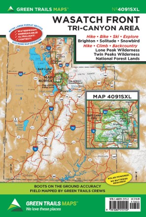
Map 4091SXL - Wasatch Front
Green TrailsWhether you're looking for a day hike close to the city or backcountry access, the Green Trails Maps Wasatch Front map will keep you up to date on the trails, access and more of the Tri-Canyon area.
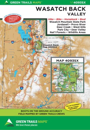
Map 4093SX - Wasatch Back, UT
Green TrailsStretching from to Wanship to Sundance, the Green Trails Wasatch Back map (4093SX) offers a beautifully detailed topographic guide to this region in Utah.
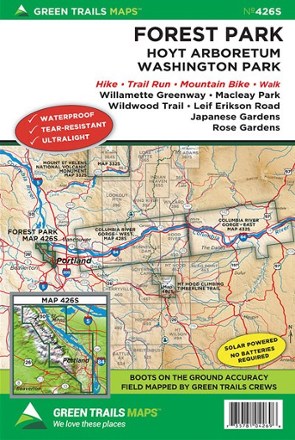
Map 426S - Forest Park Map
Green TrailsExplore the trails in your own backyard. This urban map supplies detailed route information for Forest Park and Hoyt Arboretum.
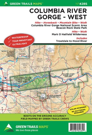
Map 428S - Columbia River Gorge - West
Green TrailsStretching from Troutdale to Hood River, the Green Trails Columbia River Gorge - West map (428S) offers a beautifully detailed topographic guide to this region in Oregon and Washington.
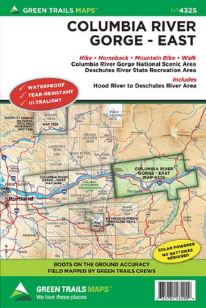
Map 432S - East Columbia River Gorge
Green TrailsThe Green Trails East Columbia River Gorge map (432S) offers a beautifully detailed topographic guide to the scenic Gorge from Hood River to the Deschutes River National Scenic Area.
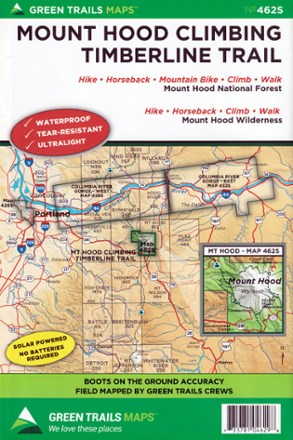
Map 462SX - Mount Hood Climbing Timberline Trail
Green TrailsWork your way toward the tree line and meet up with PCT with the Green Trails Mount Hood Climbing Timberline Trail map (462SX), a richly detailed topographic guide to hiking Wy'east.

Map 515X - Methow Valley, WA
Green TrailsWith so many multi-activity trails to explore from Sun Mountain to Methow Valley, Green Trails Methow Valley map (515X) gives you access to its expanded coverage with beautifully detailed topography.
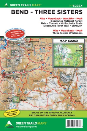
Map 622SX - Bend-Three Sisters
Green TrailsHome to many year-round trails as well as some of the best mountain bike terrain in the country, the Green Trails Bend-Three Sisters Map (622SX) fills you in with beautifully detailed topography.
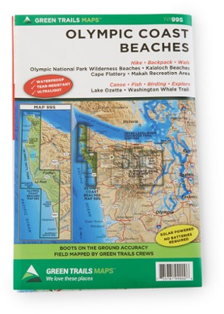
Map 99S - Olympic Coast Beaches
Green TrailsWith boots-on-the-ground accuracy, the Green Trails Olympic Coast Beaches map covers Olympic National Park wilderness beaches, Kalaloch, Washington Whale Trail, Lake Ozette, Makah and Cape Flattery.
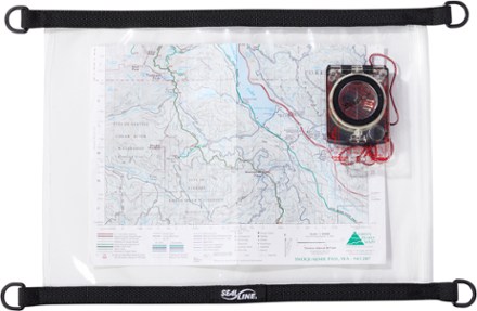
Map Case - Medium
SealLineFor any adventure where the elements could be an issue, make sure you have this waterproof SealLine map case. It shields your maps and documents from weather and splashes.
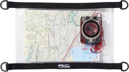
Map Case - Small
SealLinePerfect for adventures where the elements could be an issue, this waterproof small Map Case from SealLine shields your maps and documents from weather and splashes.
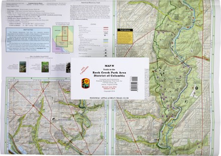
Map D - Trails in the Potomac Gorge Area and the Cabin John Trail
PATCThis map covers trails in the Potomac Gorge Area of Maryland and Northern Virginia and the Cabin John Trail in Maryland.

Map F - Trails in Great North Mountain: Lee Ranger District to Virginia and West Virginia
PATCCovering the George Washington National Forest along the Virginia/West Virginia state line, PATC Map F highlights sections 16, 17, 18 and 19 of the Tuscarora Trail
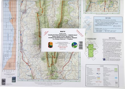
Map G - Trails in the Massanutten Mountain: Signal Knob to New Market Gap
PATCCovering an area from Signal Knob to New Market Gap, PATC Map G details sections 19 to 22 of the Tuscarora Trail in George Washington National Forest and the 72-mile Massanutten Trail.