Filters
No categories available
No brands available
Washington And Oregon Maps
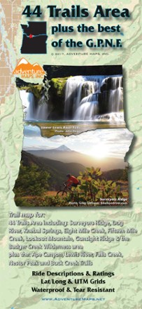
44 Trails Area Trail Map 2017
Adventure MapsDiscover beautiful waterfalls in the sprawling wilderness that spans the Oregon/Washington border with the 44 Trails Area trail map as your guide to the area's scenic hikes and mountain bike trails.
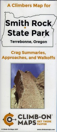
A Climber's Map for Smith Rock State Park, Terrebonne, Oregon
The double-sided, waterproof, tear-proof Smith Rock State Park climber's map includes crag summaries, approaches and walk-offs to help you find your way to the routes you want to climb.
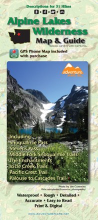
Alpine Lakes Wilderness Map & Guide - 2020
Adventure MapsThe Alpine Lakes Wilderness Adventure Map & Guide is a waterproof, topographic (lat/long, UTM grids) trail map that includes hiking descriptions covering this spectacular region.
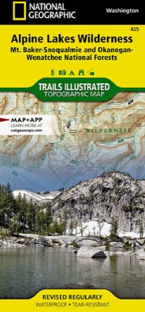
Alpine Lakes Wilderness Topographic Map
National GeographicOutdoor enthusiasts looking to explore of the Central Cascades will find the Trails Illustrated Alpine Lakes Wilderness Topographic Map an indispensable tool.

Backcountry Ski Map: Olympic National Park
Beacon GuidebooksFrom entry-level day tours to bucket list adventures, the Backcountry Ski Map: Olympic National Park brings you details on runs, skin tracks, slope angles, ATES rating, parking, trailheads and more.
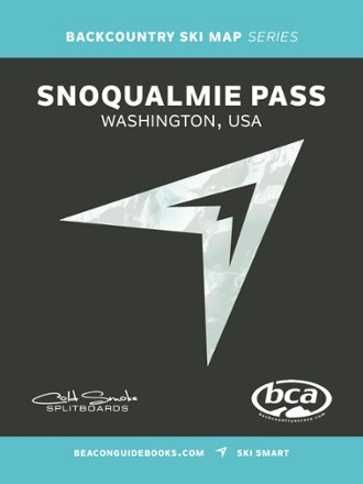
Backcountry Ski Map: Snoqualmie Pass, Washington
Beacon GuidebooksExperience the epic descents, powder fields and steep couloirs of the Cascades with Backcountry Ski Map: Snoqualmie Pass, Washington, a waterproof touring companion featuring 130 routes to ride.

Bellingham Parks - Central
Square One MapsFind your way around like a local with the Square One Maps Bellingham Parks - Central map. With roads and trails clearly marked on large-scale maps, you'll find it easy to navigate new places.
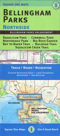
Bellingham Parks - Northside
Square One MapsFind your way around like a local with the Square One Maps Bellingham Parks - Northside map. With trails and roads clearly marked on large-scale maps, you'll find it easy to explore new places.
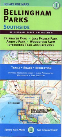
Bellingham Parks - Southside
Square One MapsFind your way around like a local with this Square One Maps Bellingham Parks - Southside map. With trail and roads clearly marked on large-scale maps, you'll find it easy to explore new places.
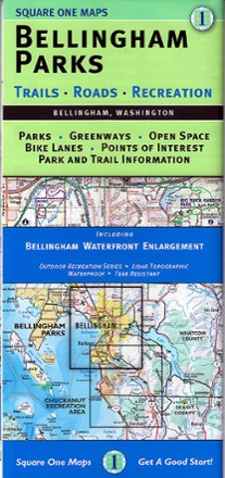
Bellingham Parks Map
Square One MapsGet the most of the outdoor recreation and nature around in Whatcom County with Bellingham Parks map as your guide to the area's best parks, open spaces, greenways, bike paths and points of interest.
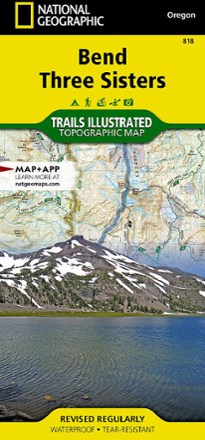
Bend / Three Sisters Topographic Map
National GeographicThe Trails Illustrated Bend / Three Sisters topographic map makes it easy to explore the mountains and wilderness in this gorgeous part of central Oregon.

Buckhorn Wilderness Map
Custom CorrectTopographic trail map of the Buckhorn Wilderness as well as connecting trails in the adjacent part of Olympic National Park
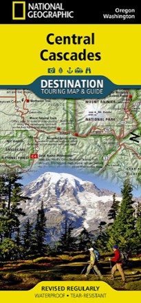
Central Cascades Destination Map
National GeographicNational Geographic Central Cascades Destination Map balances between map and guidebook—an ideal resource for touring the beauty and grandeur of the Pacific Northwest of Washington and Oregon.
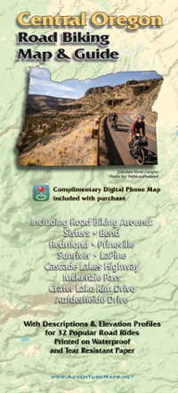
Central Oregon Road Biking Map
Adventure MapsRide the incredible volcanic and high desert landscapes of central Oregon with the Adventure Maps Central Oregon Road Biking map as your guide to 32 rides you can even download to your phone.