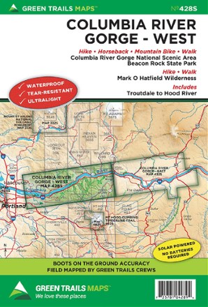
Map 428S - Columbia River Gorge - West
Tech Specs
Specifications are maintained on Pack4Back GearDB (community edits and revision history). Values may differ from the manufacturer or your unit—verify before buying.
BrandGreen Trails
Best UseHiking
State / ProvinceOregon
WaterproofYes
PublisherMountaineers Books
Copyright Year2014
Map Number428S
Description
Stretching from Troutdale to Hood River, the Green Trails Columbia River Gorge - West map (428S) offers a beautifully detailed topographic guide to this region in Oregon and Washington.
Features
- Includes the Columbia River Gorge National Scenic Area, Beacon Rock State Park and Mark O. Hatfield Wilderness
- Green Trails Maps show current trail, road and access information to national forests, national parks, state and local parks, and other public lands