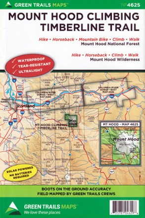
Map 462SX - Mount Hood Climbing Timberline Trail
Tech Specs
Specifications are maintained on Pack4Back GearDB (community edits and revision history). Values may differ from the manufacturer or your unit—verify before buying.
BrandGreen Trails
Best UseHiking
Folded Dimensions9 x 6 inches
Unfolded Dimensions24 x 18 inches
Map Scale1:24,000
Double SidedYes
WaterproofYes
PublisherGreen Trails Maps
Copyright Year2017
State / ProvinceOregon
Map Number462SX
Description
Work your way toward the tree line and meet up with PCT with the Green Trails Mount Hood Climbing Timberline Trail map (462SX), a richly detailed topographic guide to hiking Wy'east.
Features
- Covers Mount Hood National Forest and Mount Hood Wilderness
- Green Trails Maps show the most current trail, road and access information to national forests, national parks, state and local parks, and other public lands
- Printed on waterproof and tear-resistant paper in a larger, expanded format, this map withstands the rigors of adventures in less than ideal conditions