Filters
No categories available
No brands available
Washington And Oregon Maps

Chuckanut Recreation Area Map
Square One MapsWith rain a constant battle in the PNW, the waterproof Chuckanut Recreation Area map still gets you out to the region's best nature trails and parks, regardless of the day's forecast.
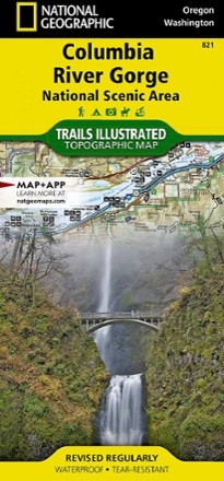
Columbia River Gorge Topographic Map
National GeographicExpertly researched in partnership with local land management agencies, the Trails Illustrated Columbia River Gorge topographic map offers an unparalleled tool for exploring this breathtaking region.
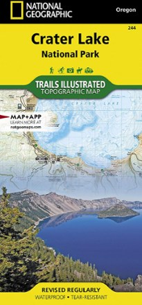
Crater Lake National Park Map
National GeographicThis Trails Illustrated folded map offers comprehensive coverage of Crater Lake National Park in Oregon.
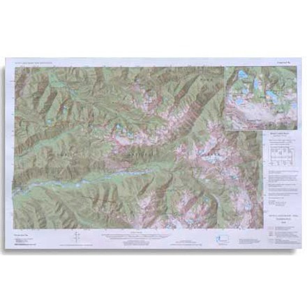
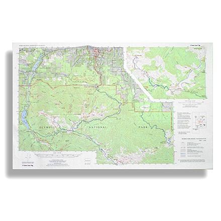
Custom Correct Seven Lakes Basin Map
Covers the Seven Lakes Basin area ranging from Slide Peak to Hurricane Hill
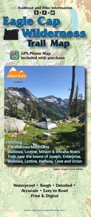
Eagle Cap Wilderness Trail Map - 2020
Adventure MapsThe Eagle Cap Wilderness Trail Map is a waterproof, topographic (lat/long, UTM grids) trail map that includes hiking descriptions covering the Wallowa Mountains, including the Eagle Cap Wilderness.
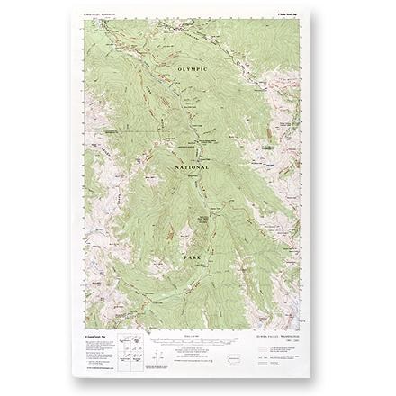
Elwha Valley Map
Custom CorrectThis topographic trail map to the Elwha Valley of Olympic National Park is a highly detailed reference for route finding.
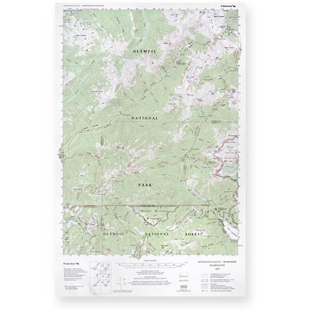
Enchanted Valley - Skokomish Map
Custom CorrectThis topographic trail map to the Enchanted and Skokomish Valleys of Olympic National Park is a highly detailed reference for route finding.

Glacier Peak Wilderness Topographic Map
National GeographicThe Trails Illustrated Glacier Peak Wilderness topographic map is an essential travel companion for outdoor enthusiasts exploring this rugged area of Washington state's North Cascades.

Goat Rocks, Norse Peak and William O. Douglas Wilderness Areas Topographic Map
National GeographicThe Trails Illustrated Goat Rocks, Norse Peak and William O. Douglas Wilderness Areas topographic map provides unmatched detail to meet the needs of new hikers and experienced outdoor enthusiasts.
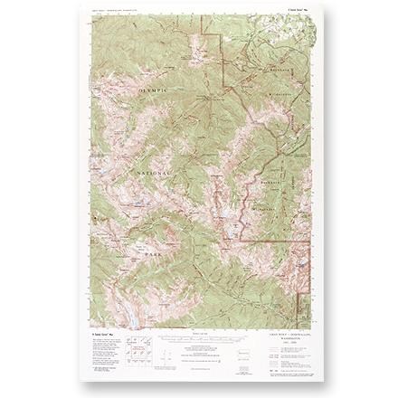
Gray Wolf - Dosewallips Map
Custom CorrectLarge-scale, topographic map of the Gray Wolf/Dosewallips area of Olympic National Park and Buckhorn Wilderness.
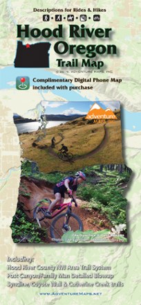
Hood River Oregon Trail Map
Adventure MapsThe Hood River area offers a wealth of recreational opportunities. Plan your adventure with this Adventure Maps Hood River Oregon topographic trail map and matching digital map for use on your phone.
Hurricane Ridge Map
Custom CorrectRoute your trip from Lake Mills, Badger Valley, Blue Mountain to Lake Aldwell
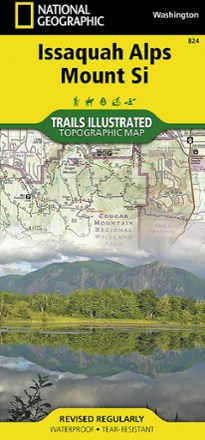
Issaquah Alps and Mount Si Map
National GeographicThe Trails Illustrated Issaquah Alps and Mount Si map offers comprehensive coverage of this easily accessible yet premier hiking destination just outside of Seattle in Western Washington.
Lake Crescent, Happy Lake Ridge, Washingon Topo-Map
Custom CorrectA custom correct topographic map of the Lake Crescent, Happy Lake Ridge area of Olympic National Park in Washington State