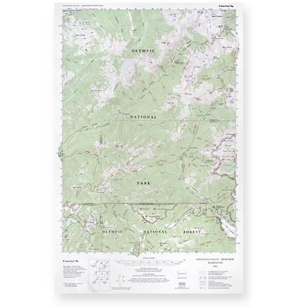


Enchanted Valley - Skokomish Map
Tech Specs
Description
This topographic trail map to the Enchanted and Skokomish Valleys of Olympic National Park is a highly detailed reference for route finding.
Features
- Map indicates elevation in feet and road distances in both miles and kilometers; measures 22-1/2 x 14-1/2 inches
- Mileage between trail intersections is super-imposed on the map
- Scale 1:62,500 or 1 inch to the mile; contour interval is 100 feet
- Little River Enterprises; copyright 2003