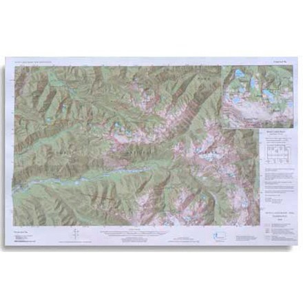

Custom Correct Seven Lakes Basin Map
Tech Specs
Specifications are maintained on Pack4Back GearDB (community edits and revision history). Values may differ from the manufacturer or your unit—verify before buying.
Description
Covers the Seven Lakes Basin area ranging from Slide Peak to Hurricane Hill
Features
- Scale is 1:62,500; scale matches USGS (United States Geological Survey) 15 Minute Series
- Elevations in feet; road and trail distances in miles and kilometers
- One inch is equivalent to a mile; contour interval is 100 feet
- National Geodetic Vertical Datum of 1929; Compiled from 1985 USGS base maps