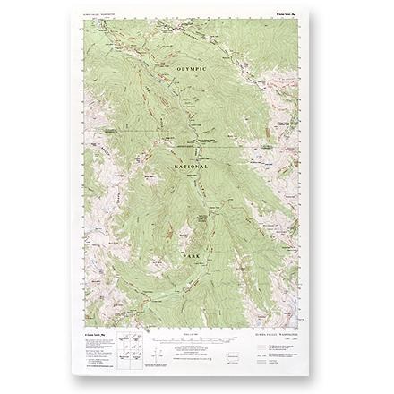

Elwha Valley Map
Tech Specs
Specifications are maintained on Pack4Back GearDB (community edits and revision history). Values may differ from the manufacturer or your unit—verify before buying.
Description
This topographic trail map to the Elwha Valley of Olympic National Park is a highly detailed reference for route finding.
Features
- Map indicates elevation in feet and road distances in both miles and kilometers; measures 22-1/2 x 14-1/2 inches
- Mileage between trail intersections is super-imposed on the map
- Scale 1:62,500 or 1 inch to the mile; contour interval is 100 feet