Filters
No categories available
No brands available
Washington And Oregon Maps Deprecated
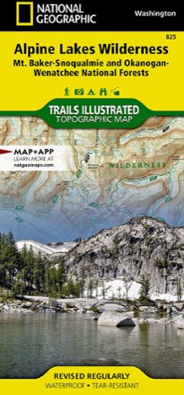
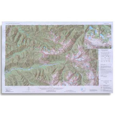
Alpine Lakes Wilderness Topographic Map
National GeographicOutdoor enthusiasts looking to explore of the Central Cascades will find the Trails Illustrated Alpine Lakes Wilderness Topographic Map an indispensable tool.
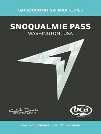
Backcountry Ski Map: Snoqualmie Pass, Washington
Beacon GuidebooksExperience the epic descents, powder fields and steep couloirs of the Cascades with Backcountry Ski Map: Snoqualmie Pass, Washington, a waterproof touring companion featuring 130 routes to ride.
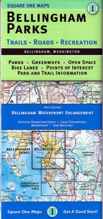
Bellingham Parks Map
Square One MapsGet the most of the outdoor recreation and nature around in Whatcom County with Bellingham Parks map as your guide to the area's best parks, open spaces, greenways, bike paths and points of interest.
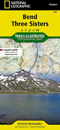
Bend / Three Sisters Topographic Map
National GeographicThe Trails Illustrated Bend / Three Sisters topographic map makes it easy to explore the mountains and wilderness in this gorgeous part of central Oregon.

Buckhorn Wilderness Map
Custom CorrectTopographic trail map of the Buckhorn Wilderness as well as connecting trails in the adjacent part of Olympic National Park
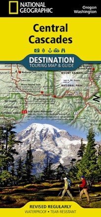
Central Cascades Destination Map
National GeographicNational Geographic Central Cascades Destination Map balances between map and guidebook—an ideal resource for touring the beauty and grandeur of the Pacific Northwest of Washington and Oregon.
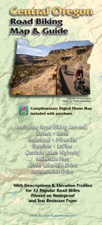
Central Oregon Road Biking Map
Adventure MapsRide the incredible volcanic and high desert landscapes of central Oregon with the Adventure Maps Central Oregon Road Biking map as your guide to 32 rides you can even download to your phone.

Chuckanut Recreation Area Map
Square One MapsWith rain a constant battle in the PNW, the waterproof Chuckanut Recreation Area map still gets you out to the region's best nature trails and parks, regardless of the day's forecast.
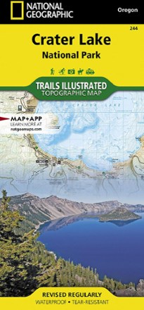
Crater Lake National Park Map
National GeographicThis Trails Illustrated folded map offers comprehensive coverage of Crater Lake National Park in Oregon.
Custom Correct Seven Lakes Basin Map
Covers the Seven Lakes Basin area ranging from Slide Peak to Hurricane Hill
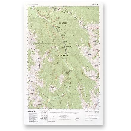
Elwha Valley Map
Custom CorrectThis topographic trail map to the Elwha Valley of Olympic National Park is a highly detailed reference for route finding.
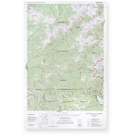
Enchanted Valley - Skokomish Map
Custom CorrectThis topographic trail map to the Enchanted and Skokomish Valleys of Olympic National Park is a highly detailed reference for route finding.

Glacier Peak Wilderness Topographic Map
National GeographicThe Trails Illustrated Glacier Peak Wilderness topographic map is an essential travel companion for outdoor enthusiasts exploring this rugged area of Washington state's North Cascades.

Goat Rocks, Norse Peak and William O. Douglas Wilderness Areas Topographic Map
National GeographicThe Trails Illustrated Goat Rocks, Norse Peak and William O. Douglas Wilderness Areas topographic map provides unmatched detail to meet the needs of new hikers and experienced outdoor enthusiasts.