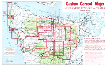


Buckhorn Wilderness Map
Tech Specs
Description
Topographic trail map of the Buckhorn Wilderness as well as connecting trails in the adjacent part of Olympic National Park
Features
- Folds out to 22 1/2 x 14 1/2 inches
- Little River Enterprises; copyright 1999
- Black-and-white photos on back
- No more piecing quads together: this Custom Correct(R) Map includes entire trail systems with no compromise in map size or scale
- Virtually every trail has been carefully field checked, measured, and re-mapped more accurately than ever before
- Accurate distances in miles and kilometers, true woodland shading, and up-to-date roads, road numbers, names, and boundaries