Filters
No categories available
No brands available
North America Maps

Southern Sierra Trail Map
Calico MapsA planning map that completely covers the Southern Sierra Nevada region of California, the Calico Maps Southern Sierra trail map is an excellent companion for exploring this amazing, little used area.

Springer and Cohutta Mountains Topographic Map
National GeographicThe detailed Trails Illustrated Springer and Cohutta Mountains topographic map leads you to an abundance of recreational opportunities in the Chattahoochee National Forest, just north of Atlanta.

St. George Pine Valley Mountains Topographic Map
National GeographicNo matter how you like to spend your weekend, you can use the highly detailed maps of the National Geographic St. George Pine Valley Mountains topographic map to plan your outing.
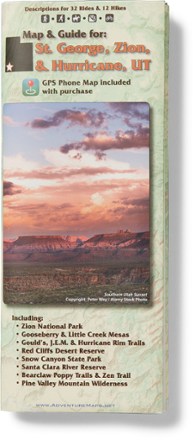
St. George, Zion & Hurricane, Utah Map & Guide
Adventure MapsJust imagine the epic scenery and landscapes you'll find hiking, biking and exploring with the richly detailed and waterproof Adventure Maps St. George, Zion & Hurricane, Utah map to guide your way.

State Bridge/Burns Trail Map
National GeographicThis Trails Illustrated folded map offers colorful, comprehensive coverage for outdoor exploration in Colorado's State Bridge and Burns area.

Staunton / Shenandoah Mtn Topographic Map
National GeographicLet the Trails Illustrated Staunton / Shenandoah Mtn topographic map guide you on your exploration of this picturesque area of Virginia and West Virginia.
North America MapsNew England and Mid Atlantic Maps - DEPRECATED
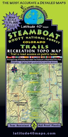
Steamboat - Routt National Forest Trails Map
Latitude 40 MapsA recreational topo map covering the Routt National Forest trails near Steamboat Springs, Colorado, this 2-sided map displays the north half on one side and the south half on reverse side.
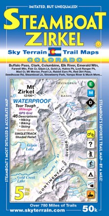
Steamboat Springs and Mount Zirkel Trail Map - 5th Edition
Sky Terrain Trail MapsWaterproof and pocket-size, Sky Terrain Steamboat Springs and Mount Zirkel Trail Map highlights this stunning region of the Rockies with vividly detailed topography of the terrain and trails to trek.
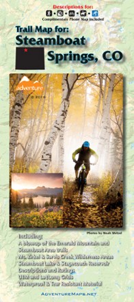
Steamboat Springs, Colorado, Trail Map - 2018
Adventure MapsThis Steamboat Springs map (2018 version) is a waterproof, topographic trail map (lat/long, UTM grids) that includes route descriptions covering trails throughout the Steamboat Springs area.
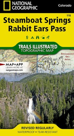
Steamboat Springs/Rabbit Ears Pass Trail Map
National GeographicThis National Geographic Trails Illustrated folded map offers comprehensive coverage of Steamboat Springs/Rabbit Ears Pass in Colorado.

Sterling Forest Trails Map - 8th Edition
New York New Jersey TrailFeaturing more than 175 mi. of marked trails in Sterling Forest State Park and nearby parklands, this Sterling Forest Trails map is a must-have for planning your New York State adventure.
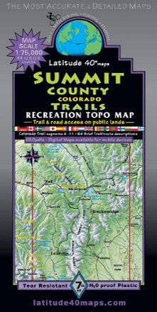
Summit County Trails - 7th Edition
Latitude 40 MapsRoam the peaks of Colorado with the help of this Summit County Trails map from Latitude 40 Maps. Made with waterproof and tear-resistant paper, it's ready to keep up with your wildest outdoor days.
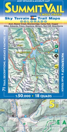
Summit Vail and Holy Cross Trail Map - 5th Edition
Sky Terrain Trail MapsFind your way around a stunning region of the Rockies with the Sky Terrain Summit Vail and Holy Cross Trail Map, highlighting the area with vivid accuracy and detail of the terrain and trails to trek.
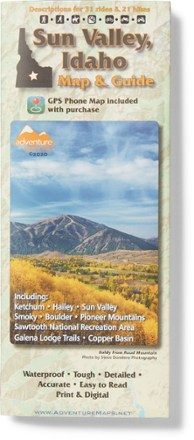
Sun Valley, ID Trail Map
Adventure MapsGrab this waterproof, topographic Sun Valley, Idaho trail map from Adventure Maps to plan adventures in Ketchum, Hailey, the Smoky, Boulder and Pioneer Mountains, and the Sawtooth Recreation Area.