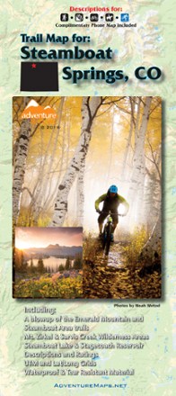

Steamboat Springs, Colorado, Trail Map - 2018
Tech Specs
Specifications are maintained on Pack4Back GearDB (community edits and revision history). Values may differ from the manufacturer or your unit—verify before buying.
BrandAdventure Maps
Best UseMultisport
State / ProvinceColorado
Map Scale1:70,000
WaterproofYes
PublisherAdventure Maps, Inc.
Copyright Year2018
Description
This Steamboat Springs map (2018 version) is a waterproof, topographic trail map (lat/long, UTM grids) that includes route descriptions covering trails throughout the Steamboat Springs area.
Features
- Coverage includes the Mount Zirkel Wilderness, Sarvis Creek Wilderness and Routt National Forest
- Features descriptions for 18 of the best mountain bike rides, 11 road bike rides, 12 hikes, 7 equestrian rides and 9 winter recreation (XC ski, fat bike, snowshoe) routes
- Also includes a blowup of Steamboat Springs (city, both ski resorts)
- Anglers and hunters will also find this map very useful as it accurately shows all streams, lakes, roads and land ownership boundaries
- Each of the routes described on this map were researched, hiked or ridden by Routt County Riders, Steamboat's local trail advocacy group
- The descriptions and detailed, overall view provided by the map will help you to plan the perfect day of riding or hiking
- The waterproof material won't wear out at the seams and can withstand the elements (as well as an accidental soaking from your water bottle)