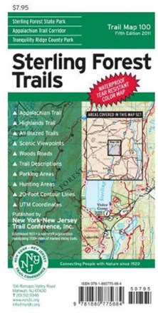

Sterling Forest Trails Map - 8th Edition
Tech Specs
Best UseHiking
State / ProvinceNew York
Folded Dimensions8 x 4.5 x 0.5 inches
Unfolded Dimensions21.5 x 20 inches
Map Scale1:39,300
Double SidedYes
WaterproofYes
PublisherNY/NJ TC
Copyright Year2020
Map Number100
Description
Featuring more than 175 mi. of marked trails in Sterling Forest State Park and nearby parklands, this Sterling Forest Trails map is a must-have for planning your New York State adventure.
Features
- 8th edition features the latest trail additions and relocations, including the Hutchinson and Munsee-Eagle multi-use trails
- Covers more than 175 mi. of marked trails in Sterling Forest State Park and surrounding parklands, including parts of Harriman State Park and northern New Jersey parklands
- Includes more than 18 mi. each of the Appalachian Trail and Highlands Trail
- All trails include detailed junction-to-junction trail mileage numbers
- Marks park land boundaries, hunting areas, unmaintained trails and woods roads, plus shelters, parking areas, fire towers, viewpoints and other points of interest
- Includes park contact information, history and regulations
- Printed in vibrant color on waterproof and tear-resistant Tyvek®; map is a convenient size to carry and use on the trail
- Complete trail index and guide to trail blazing on map back
- Enlarged inset map of trails surrounding the park visitor center
- 20 ft. elevation contours; UTM grid with latitude/longitude markings