Filters
No categories available
No brands available
Colorado Maps
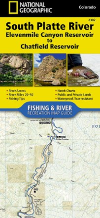
South Platte River Fishing & River Recreation Map Guide: Elevenmile Canyon Reservoir to Chatfield Reservoir
National GeographicA perfect companion for river recreation, the National Geographic South Platte River Fishing & River Map Guide is packed with details and maps to help plan and guide your adventures.
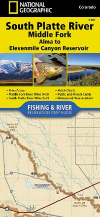
South Platte River Middle Fork Fishing & River Recreation Map Guide
National GeographicA perfect companion for river recreation, the National Geographic South Platte River Middle Fork Fishing & River Map Guide is packed with details and maps to help plan and guide your adventures.
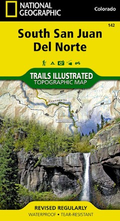
South San Juan / Del Norte Topographic Map
National GeographicTrails Illustrated South San Juan / Del Norte topographic map was expertly researched in partnership with the U.S. Forest Service and Bureau of Land Management to offer accurate, detailed trail info.
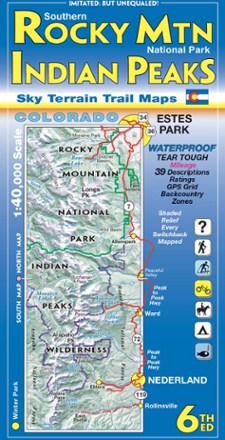
Southern Rocky Mountain National Park and Indian Peaks Wilderness Trails - 6th Edition
Sky Terrain Trail MapsOn trail or on the road, find your way with the waterproof Sky Terrain Southern Rocky Mountain National Park and Indian Peaks Wilderness Trail Map that folds to pocket-size for easy on-trail use.

State Bridge/Burns Trail Map
National GeographicThis Trails Illustrated folded map offers colorful, comprehensive coverage for outdoor exploration in Colorado's State Bridge and Burns area.
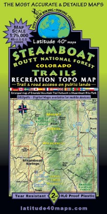
Steamboat - Routt National Forest Trails Map
Latitude 40 MapsA recreational topo map covering the Routt National Forest trails near Steamboat Springs, Colorado, this 2-sided map displays the north half on one side and the south half on reverse side.
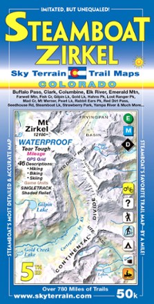
Steamboat Springs and Mount Zirkel Trail Map - 5th Edition
Sky Terrain Trail MapsWaterproof and pocket-size, Sky Terrain Steamboat Springs and Mount Zirkel Trail Map highlights this stunning region of the Rockies with vividly detailed topography of the terrain and trails to trek.
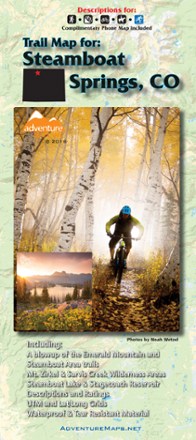
Steamboat Springs, Colorado, Trail Map - 2018
Adventure MapsThis Steamboat Springs map (2018 version) is a waterproof, topographic trail map (lat/long, UTM grids) that includes route descriptions covering trails throughout the Steamboat Springs area.
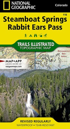
Steamboat Springs/Rabbit Ears Pass Trail Map
National GeographicThis National Geographic Trails Illustrated folded map offers comprehensive coverage of Steamboat Springs/Rabbit Ears Pass in Colorado.
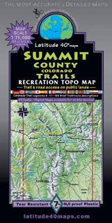
Summit County Trails - 7th Edition
Latitude 40 MapsRoam the peaks of Colorado with the help of this Summit County Trails map from Latitude 40 Maps. Made with waterproof and tear-resistant paper, it's ready to keep up with your wildest outdoor days.
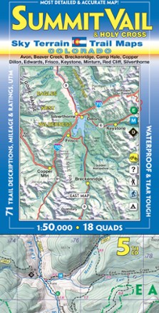
Summit Vail and Holy Cross Trail Map - 5th Edition
Sky Terrain Trail MapsFind your way around a stunning region of the Rockies with the Sky Terrain Summit Vail and Holy Cross Trail Map, highlighting the area with vivid accuracy and detail of the terrain and trails to trek.

Tarryall Mtns. / Kenosha Pass Topographic Map
National GeographicExpertly researched along with local land management agencies, the Trails Illustrated Tarryall Mtns. / Kenosha Pass topographic map provides an unparalleled tool for exploring this region of Colorado.

Telluride Local Trails Map & Guide
National GeographicHow do you pick which adventure to start with at a world-renowned outdoor destination? Start here, with the National Geographic Telluride local trails map, which pairs a front map with a back guide.
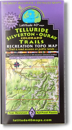
Telluride Silverton Ouray Map - 7th Edition
Latitude 40 MapsForge a route through the mountains with the help of this Latitude 40 Maps Telluride Silverton Ouray map. For even bigger trips through the San Juans, connect it to the Durango map (not included).