Filters
No categories available
No brands available
Colorado Maps
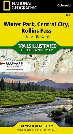
Winter Park/Central City/Rollins Pass Trail Map
National GeographicThis Trails Illustrated folded map offers comprehensive coverage of the Winter Park, Central City and Rollins Pass areas in Colorado.
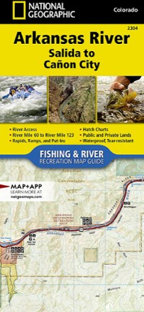
Arkansas River: Salida to Canon City Fishing and River Recreation Map Guide
National GeographicShowing every turn and rapid, the National Geographic Arkansas River: Salida to Canon City Fishing and River recreation map guide is the ideal resource for enjoying the Arkansas River in Colorado.
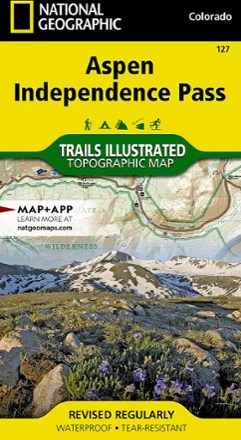
Aspen / Independence Pass Topographic Map
National GeographicThe Trails Illustrated Aspen / Independence Pass topographic map offers clear, detailed coverage of Aspen and Independence Pass in Colorado.

Aspen Local Trails Map & Guide
National GeographicWhere do the locals go when they want to take a short hike with the family or to push themselves with a heart-pounding trip? The National Geographic Aspen Local Trails map answers this question.

Aspen, Crested Butte and Maroon Bells Trail Map
Sky Terrain Trail MapsDiscover myriad opportunities for outdoor recreation with the Sky Terrain Trail Maps Aspen, Crested Butte and Maroon Bells trail map, which covers an area filled with 14ers, ghost towns and more.

Backcountry Ski Map: Berthoud Pass, Colorado
Beacon GuidebooksFeaturing big faces and mellow glades from Pumphouse Basin to First Creek in beautiful detail, Backcountry Ski Map: Berthoud Pass, Colorado is a pack-friendly must-have for touring.
Backcountry Ski Map: Buffalo Pass, Colorado
Beacon GuidebooksSpanning mellow glades and technical lines from Dry Lake to Buff Mountain, Backcountry Ski Map: Buffalo Pass, Colorado features over 100 possible routes to make your descent.
Backcountry Ski Map: Loveland Pass, Colorado
Beacon GuidebooksDetailing crazy couloirs, hidden powder stashes and mellow glades from Watrous Gulch to Porcupine Peak, the large-scale Backcountry Ski Map: Loveland Pass, Colorado is a must-have touring companion.
Backcountry Ski Map: Silverton, Colorado
Beacon GuidebooksEnjoy light tours to extreme couloirs and deep winter glades to spring summit objectives with the large-scale Backcountry Ski Map: Silverton, Colorado, a waterproof touring companion with 91 routes.
Black Canyon of the Gunnison Topographic Map
National GeographicThe Trails Illustrated Black Canyon of the Gunnison topographic map delivers unmatched detail and valuable information to assist you in exploring this breathtaking wilderness.
Black Mesa / Curecanti Pass Topographic Map
National GeographicOutdoor enthusiasts seeking to explore the remote and untamed mountains of western Colorado will marvel at the Trails Illustrated Black Mesa / Curecanti Pass topographic map.
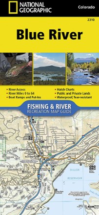
Blue River Fishing & River Recreation Map Guide
National GeographicThe National Geographic Blue River Fishing & River recreation map guide is a compact and lightweight companion for experiencing this picturesque river and its endless recreation opportunities.
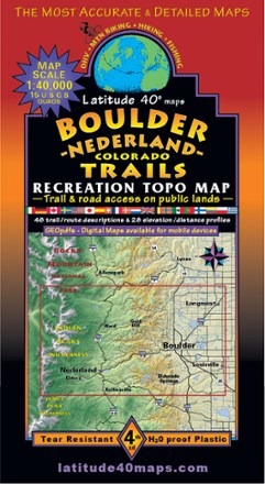
Boulder - Nederland Trails Map
Latitude 40 MapsA recreational topo map covering the beautiful terrain in and around Boulder County, Colorado, the Latitude 40 Maps Boulder - Nederland Trails map includes 48 trail descriptions for outdoor lovers.
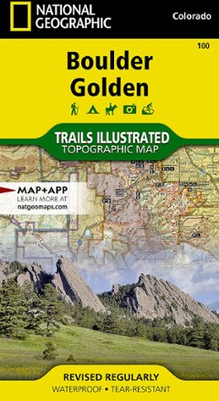
Boulder / Golden Area Map - Colorado
National GeographicThis informative Trails Illustrated map will help you plan trips to and explore the area in and around Boulder and Golden, Colorado.