Filters
No categories available
No brands available
California Maps
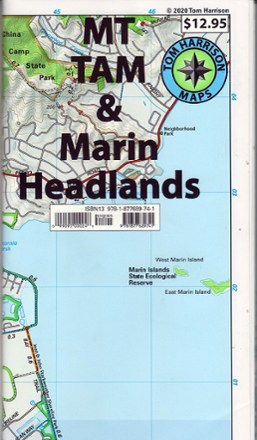
Mt. Tam & Marin Headlands Trail Map - 2020 Edition
Tom Harrison CartographyDiscover Mount Tamalpais and its surroundings with the waterproof and tear-resistant Mt. Tam & Marin Headlands trail map from Tom Harrison Cartography.

Northern San Diego County Bikeways and Trail Maps
Franko's MapsDiscover sunny San Diego county on 2 wheels with the comprehensive Franko's Maps Northern San Diego County Bikeways and Trails map.

Novato-North Marin Trail Map
Tom Harrison CartographyDiscover hiking, running and mountain biking trails in the Tom Harrison Cartography Novato–North Marin trail map, and explore all this rolling, oak-studded region has to offer.

Oregon & Northern California Coast - 9th Edition
The Oregon & Northern California Coast road and recreation map will help you find the road—and beaches and trails—less traveled, from the redwoods to the Columbia River.
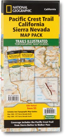
Pacific Crest Trail Topographic Map Guide: California Sierra Nevada Map Pack
National GeographicThe Trails Illustrated Pacific Crest Trail topographic map guide includes 2 map guides that cover the PCT as it navigates the rugged Sierra Nevada in California.

Pacific Crest Trail Topographic Map Guide: Klamath Mountains
National GeographicFrom Siskiyou Summit to Castle Crags, this Trails Illustrated Pacific Crest Trail topographic map guide covers the wildflower-dotted meadows and conifer forests of the Klamath Mountains.
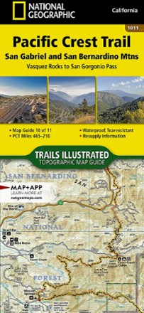
Pacific Crest Trail Topographic Map Guide: San Gabriel and San Bernardino Mountains
National GeographicFrom Vasquez Rocks to San Gorgonio Pass, this Trails Illustrated Pacific Crest Trail topographic map guide covers the scrublands and dry pine forests of the San Gabriel and San Bernardino mountains.
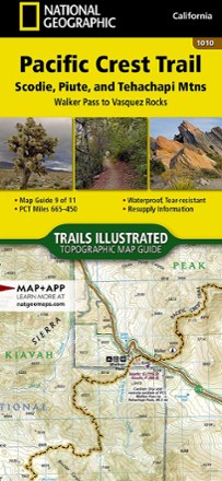
Pacific Crest Trail Topographic Map Guide: Scodie, Piute, and Tehachapi Mountains
National GeographicFrom Walker Pass to Vasquez Rocks, this Trails Illustrated Pacific Crest Trail topographic map guide covers the PCT through the southern reaches of the Sierra Nevada and into the Tehachapi Mountains.

Pacific Crest Trail Topographic Map Guide: Sierra Nevada North
National GeographicFrom Sierra Buttes to Devils Postpile, this Trails Illustrated Pacific Crest Trail topographic map guide covers the subalpine forests and volcanic rock formations of the northern Sierra Nevada.
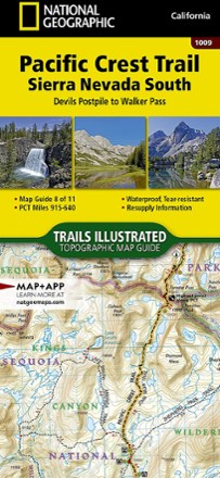
Pacific Crest Trail Topographic Map Guide: Sierra Nevada South
National GeographicFrom Devils Postpile to Walker Pass, this Trails Illustrated Pacific Crest Trail topographic map guide covers the forests, meadows and dry mountain ridges of the southern Sierra Nevada.
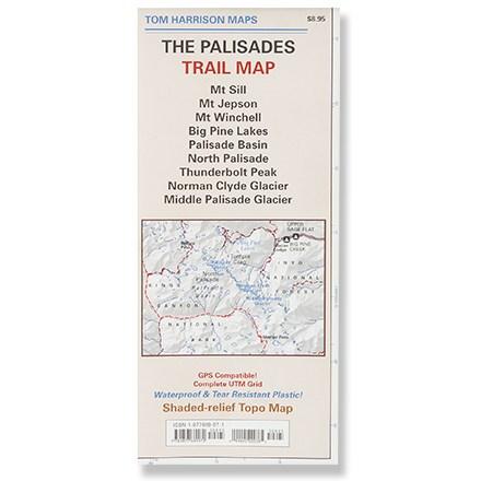
Palisades Trail Map
Tom Harrison CartographyPrinted on waterproof plastic for durability, this is a complete shaded-relief topographic map of the trails of the Palisades area.
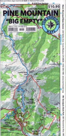
Pine Mountain Trail Map
Tom Harrison CartographyThis waterproof and tear-resistant folded map of Pine Mountain provides detailed and accurate trail information.
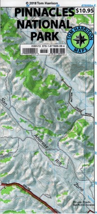
Pinnacles National Park Trail Map
Tom Harrison CartographyFrom Tom Harrison Cartography, the Pinnacles National Park Trail Map is your guide to discovering this popular climbing, hiking and birding destination in Central California.
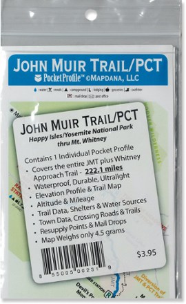
Pocket Profile John Muir Trail and PCT Map
AntiGravityGearThe Pocket Profile John Muir and PCT map from AntiGravityGear is the perfect-size companion for moment-by-moment reference when you're on the John Muir portion of the Pacfic Crest Trail.